It’s insane to realize that there are two different Crabtree Falls that are commonly associated with the 469-mile Blue Ridge Parkway, but that is the world we’re living in.
These two popular waterfalls get confused all the time– so much so that the Crabtree Falls page on Virginia.org (the state’s official tourism website) actually links to the NPS’s webpage for Crabtree Falls NC!
Needless to say, we’ve been VERY careful with the information we’re offering here, and visitors should be careful about what information they’re using to get to Crabtree Falls VA (or Crabtree Falls NC for that matter).
Crabtree Falls in Virginia is not actually on the BRP. It requires a 6-mile detour into Nelson County, but it’s well worth the time.
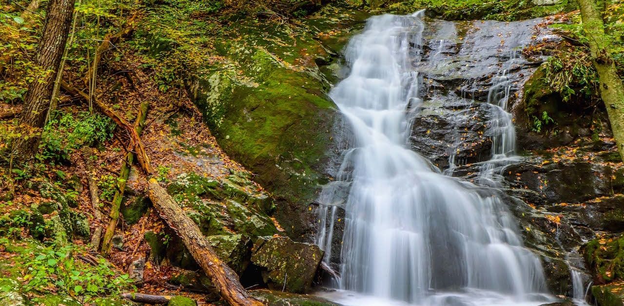
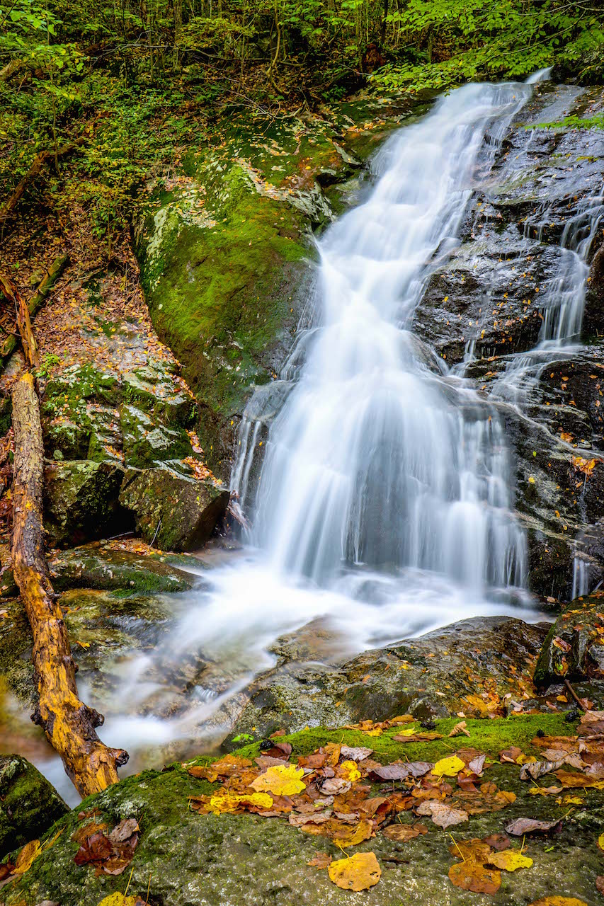
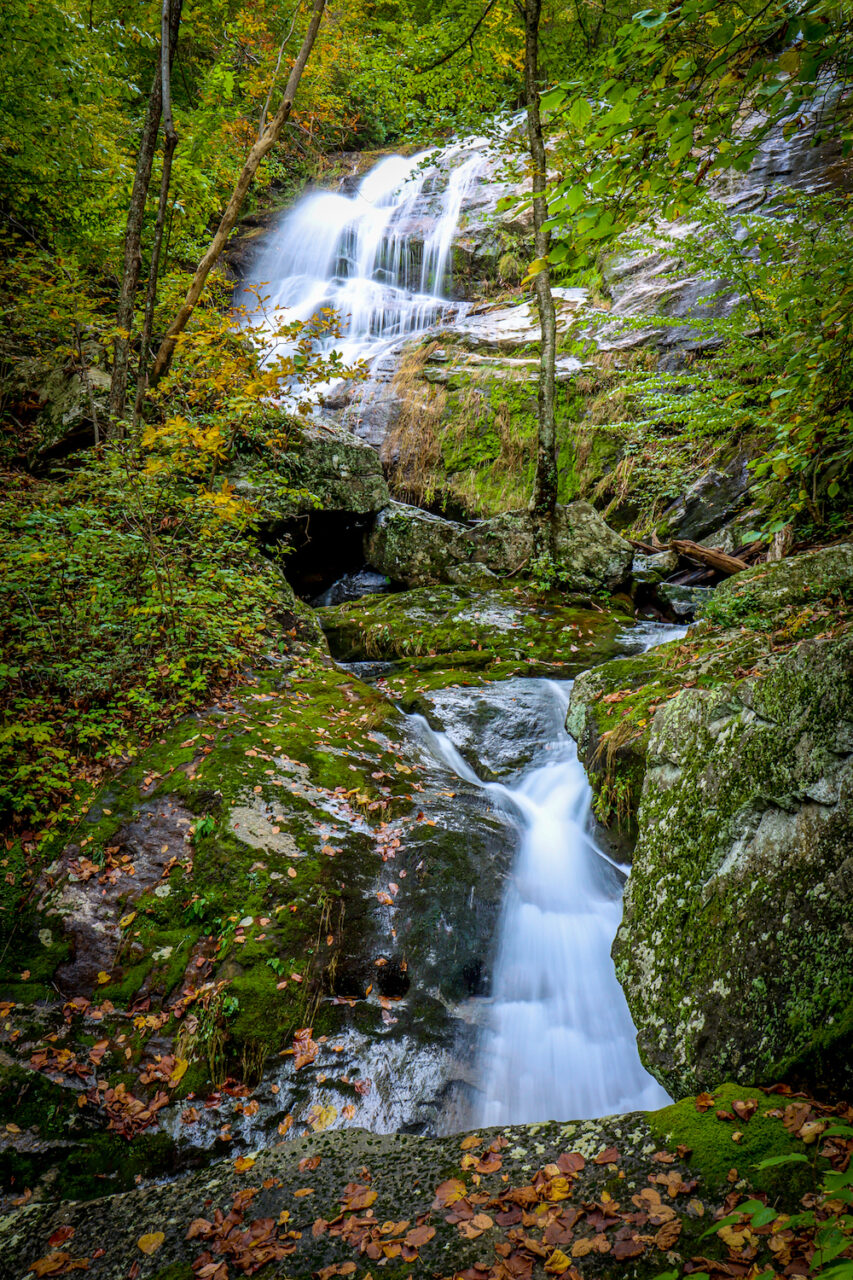
Located in George Washington and Jefferson National Forests, Crabtree Falls is one of the highlights of Virginia’s Blue Ridge Mountains. Tumbling down a total of 1,200 feet, it’s the highest vertical drop cascading waterfall east of the Rockies!
Read on for our in-depth guide to visiting Crabtree Falls VA, including fantastic photos, some history of the area, an overview of the hiking trail, and driving directions.
READ MORE: The 10 Best Waterfalls on/near the Blue Ridge Parkway in Virginia

Virginia’s Crabtree Falls Info
ADDRESS: 11581 Crabtree Falls Hwy, Montebello VA
PHONE: (540) 291-2188
COST OF ENTRY: $3 per vehicle
CRABTREE FALLS HOURS: Dawn to Dusk
HIKING TRAIL: 3.4 miles out-and-back, Moderately Difficult
AMENITIES: Family Friendly, Wheelchair Accessibility, Picnic Tables, Restrooms
READ MORE: The 15 Best Virginia Waterfalls for Hiking
History of Crabtree Falls VA
Considered one of the tallest (and arguably THE tallest) sets of waterfalls east of the Mississippi River, Crabtree Falls VA is named after William Crabtree, a colonial settler who moved to the area back in 1777.
But it was L.A. Snead– a local boy who served in WWI and became an environmentalist– who was instrumental in establishing this area as protected land. After saving it from being developed into a Virginia Mountain Resort, he transferred the deed to the National Forest Service in 1968.
Virginia’s Crabtree Falls is considered the tallest “cascading” waterfall, with a 1,200-foot drop via 5 major cascades and several smaller cascades in-between.
That being said, Fall Creek Falls in TN is not only one of the best waterfalls in Tennessee, but it’s also considered the tallest free-fall vertical drop in the Eastern US.
The Crabtree Falls Trail is part of the 1.8 million-acre George Washington & Jefferson National Forest. So it’s well-maintained, yet nearly 30 people have wandered off-trail and died there over the years.
George Washington National Forest was established in 1918 as the Shenandoah National Forest. Jefferson National Forest was created in 1936 by combining parts of Unaká National Forest and GWNF.
In 1995, the George Washington and Jefferson National Forests were combined into one massive entity that straddles 3 states (Virginia, West Virginia, and Kentucky) and boasts a myriad of attractions.
The Blue Ridge Parkway cuts through it, as does the Appalachian Trail in VA. Mount Rogers and Whitetop Mountain, Virginia’s highest peaks, are surrounded by 200,000+ acres of old-growth forest.
The forests are popular for hiking, camping, mountain biking, and even hunting. It also has some very nice lakes in the Virginia Mountains that are regarded as great fishing destinations.
With sensational spots like Crabtree Falls, the waterfall-chasing scene is pretty spectacular, too!
READ MORE: A Detailed History of the Blue Ridge Parkway
Hiking the Crabtree Falls Trail
Within the George Washington & Jefferson National Forest, Crabtree Falls can be found at the Crabtree Falls Day Use Area, which is located about 30 miles northeast of Lexington VA.
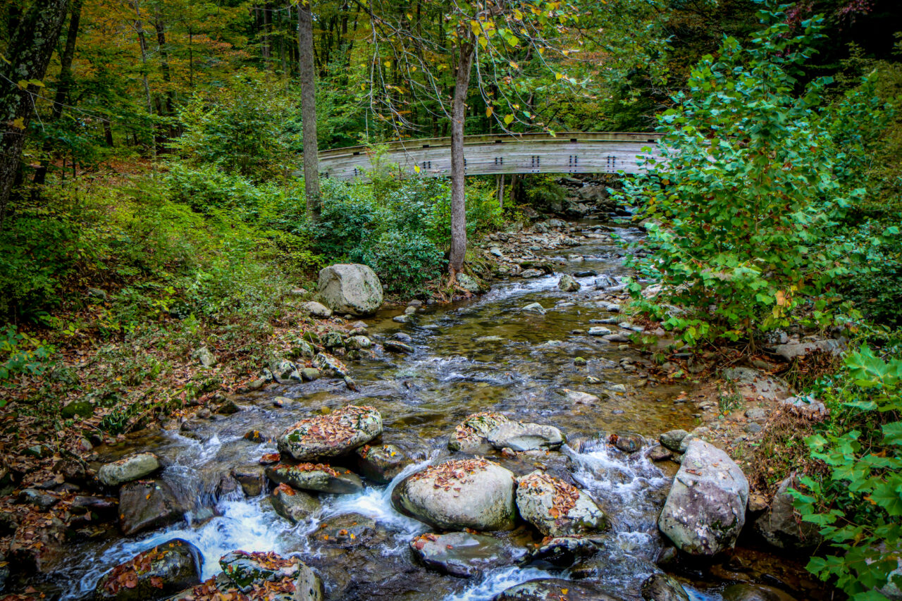
Parking costs $3 per car, cash only. Before you leave the parking lot, don’t miss the photogenic 110-foot wooden bridge, which spans the Tye River.
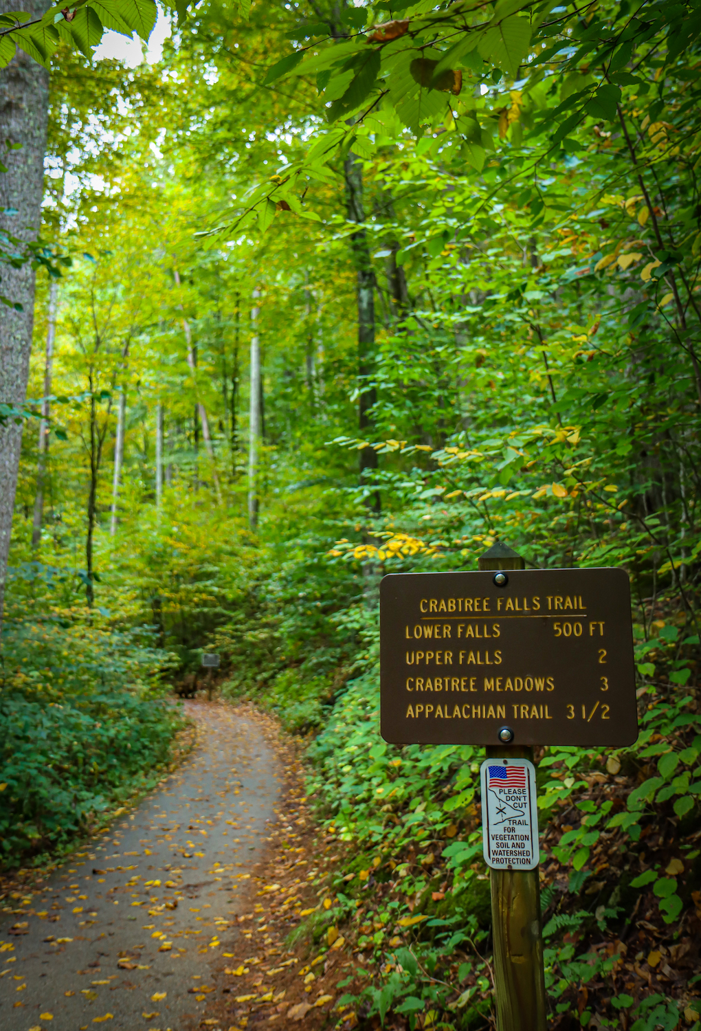
To reach the very top of Crabtree Falls, the trail is a little over 3.5 miles round-trip, but it has a short portion that is paved and wheelchair accessible.
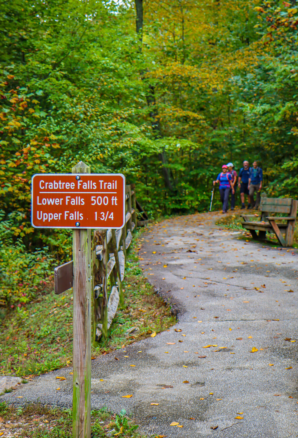
This paved section is just 0.1 miles with minimal elevation gain, and takes visitors to the trail’s first viewpoint, which overlooks the lower falls.
The remainder of the Crabtree Falls Trail in Virginia is considered moderately difficult. The path (which can get slippery after rain) includes rocks, roots, and stairs, with an 1,135-foot elevation change.
But it offers up 5 different scenic viewpoints of the towering waterfall and its multitude of big cascades along the way, and it’s especially glorious when Virginia’s Fall colors start to peak.
Generally, this trail takes a couple of hours or more to complete. Other highlights along the trail include outstanding vistas across the Blue Ridge Mountains and Tye River Valley.
Enthusiastic hikers can continue another 2.4 miles by hiking to Crabtree Meadows.
READ MORE: How to Plan an Amazing Blue Ridge Parkway Road Trip
Directions to Crabtree Falls
From Montebello VA
Crabtree Falls is only about 10 minutes from Montebello VA, the nearest mountain town (which is technically an unincorporated community), and the route is fairly direct.
Take VA-56 E out of town and go for roughly 4.5 miles until you turn right on Crabtree Falls Hwy. The parking lot is only a few hundred feet further from there.
From the Blue Ridge Parkway
The Blue Ridge Parkway has an exit onto VA 56-E just a couple of miles north of Montebello. So the route to Crabtree Falls VA from the BRP is basically the same.
Take VA-56 E through Montebello (a total of about 6.5 miles) and look for Crabtree Falls Hwy on the right. The parking area is just a few hundred feet from the turn.
From Lexington VA
Lexington VA is 30 miles southwest of Crabtree Falls, and it’s the most substantial town, with the best restaurants in the area.
From Lexington, use US-11 N to get to VA-56 E (roughly 16 miles), then turn right onto VA-56 at Steeles Tavern. Stay on VA-56 by turning left in Vesuvius VA, and Crabtree Falls Hwy is about 10 miles away.
READ MORE: The 15 Best Blue Ridge Parkway Hotels & Cabin Rentals in NC & VA

Other Attractions Near Crabtree Falls
Crabtree Falls is accessed via BRP Milepost 27.2, so it isn’t very far from the northern terminus of the Parkway. There are some great Blue Ridge Parkway Overlooks in Virginia nearby.
- The Priest Overlook Trail (MP 17.6) is a 9-mile out-and-back trek to the highest point (4,063 feet) in Nelson County. The other cool aspect of this trail is that it’s a section day hike of the Appalachian Trail, and it’s riddled with awesome views.
- Twenty Minute Cliff Overlook (MP 19) is famed for its interaction with the sun, specifically during Summer. In June/July, from the town of White Rock VA, the sun can be observed on the cliff 20 minutes before it ducks behind the mountain. It’s a phenomenal spot for sunset shots!
- Yankee Horse Ridge Overlook (MP 34.4) has two noteworthy attractions, Wigwam Falls and the Irish Creek Railroad, including old train tracks and a trestle. There’s a soothing mountain stream babbling through here, pretty wildflowers, and plenty of birds. -by Jonathon Engels; all photos by Bret Love & Mary Gabbett

