The 469-mile Blue Ridge Parkway is widely regarded as “America’s favorite drive,” with over 16 million annual visitors making it the most popular unit of the U.S. National Park Service.
But in order to fully appreciate why the world-renowned scenic route remains so beloved today, more than 90 years after the concept was created, it’s important to know more about the history of the Blue Ridge Parkway.
Originally known as the Appalachian Scenic Highway, the idea was born in 1933, after President Franklin Delano Roosevelt visited the newly constructed Skyline Drive in Shenandoah National Park.
It was Virginia Senator Harry Bird who first suggested that the road should be extended to connect with Great Smoky Mountains National Park in North Carolina.
This park-to-park connection wasn’t just a matter of convenience, but of conservation. By the 1930s, the natural beauty of the Blue Ridge Mountains had been marred by fires, excessive logging, and erosion. The Parkway was artfully designed to protect the region’s natural beauty and restore the land.
The Southern Appalachian region was suffering from extreme poverty due to the Great Depression. As part of FDR’s New Deal, the BRP was intended to boost the American economy by providing thousands of jobs. Companies were required to hire as many unemployed locals as possible, stipulated by quotas in their contracts.
But the overarching purpose of the ambitious project, according to the National Park Service, was “to reveal the charm and interest of the American countryside,” as the talented team of landscape architects and engineers envisioned it.
READ MORE: How to Plan an Amazing Blue Ridge Parkway Road Trip
Construction of the Blue Ridge Parkway
The Blue Ridge Parkway was approved as a public works project by Interior Secretary Harold Ickes on November 24, 1933, with an initial budget of $16 million.
New York landscape architect Stanley Abbott was hired to oversee the project, and he imagined a chain of protected parks and recreational areas with scenic views preserved against development.
This project quickly met with controversy. Initial studies suggested the best route would extend from Blowing Rock NC west over the Unaka Mountains into Tennessee.
But the economy of downtown Asheville NC was in truly dire straits at the time, so the Asheville Chamber of Commerce and other city leaders joined forces to lobby in favor of a route through their city.
READ MORE: The 15 Best Blue Ridge Parkway Hotels & Cabin Rentals in NC & VA
But Team Asheville had an ace up their sleeve in Josephus Daniels, the U.S. Ambassador to Mexico and former Defense Secretary under Woodrow Wilson. FDR had served under Daniels as Secretary of the Navy, so the two men were longtime friends.
It was Daniels who ultimately managed to sway Roosevelt in Asheville’s favor, and construction of the Parkway began at Cumberland Knob, North Carolina on September 11, 1935. Construction on the Virginia side began 5 months later.
In general terms, Stanley Abbott’s vision was for the Blue Ridge Parkway to be a low-impact road that seemingly blended into its protected corridor, giving the impression that the park’s boundaries stretched as far as the naked eye could see.
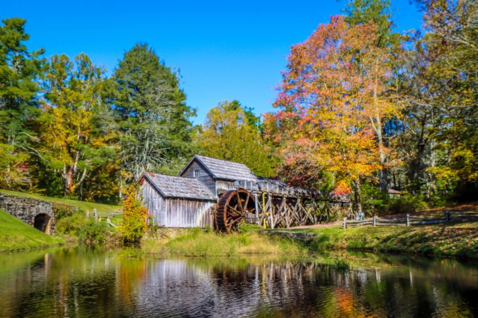
Abbott wanted every aspect of the BRP, including structures, fences, and guardrails, to blend seamlessly into the environment. Modern influences were shunned in favor of log cabins and barns, rail fences, and other traditional Appalachian pioneer elements.
READ MORE: Visiting the Southern Highland Craft Guild Folk Art Center (BRP MP 382)
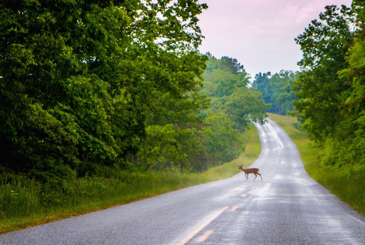
Where Skyline Drive traversed the crest of Virginia’s Blue Ridge, the Blue Ridge Parkway was designed to provide a diverse array of landscapes for travelers to enjoy.
It was intentionally routed along the sides of mountains, over summits, past streams and waterfalls, and into broad river valleys.
To quote Abbott, the appeal of the Parkway “lies with ever-changing location, in variety.”
His team of engineers and landscape architects collaborated to design a road capable of “following a mountain stream for a while, then climbing up on the slope of a hill pasture, then dipping down into the open bottom lands and back into the woodlands.”
Most of the Blue Ridge Parkway construction was taken care of by private contractors under federal contracts, but other work was handled by various New Deal public works agencies.
The Works Progress Administration helped out with roadway construction; Emergency Relief Administration crews did landscaping and developed recreation areas; and Civilian Conservation Corps workers dealt with roadside cleanup, grading slopes, and improving adjacent fields and forests.
READ MORE: Hiking the Crozet Blue Ridge Tunnel Trail Near Waynesboro VA
The Resistance
Although the construction of the Blue Ridge Parkway created lots of jobs, the massive project also encountered plenty of obstacles and outspoken critics from the very beginning.
Many of the local residents were displaced by the creation of conservation lands. Others were prohibited from building on their lands without permission from the government, and could not use the BRP to transport their crops or equipment.
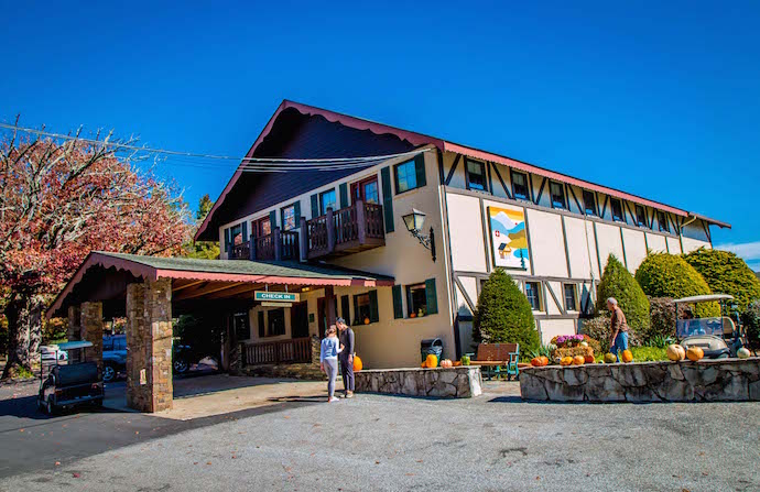
Justice Heriot Clarkson, founder of the town of Little Switzerland, built the Switzerland Inn in 1911 and created a secluded resort town where residents and visitors alike could escape the hustle and bustle of the city.
READ MORE: 10 Must-Visit Blue Ridge Mountain Resorts
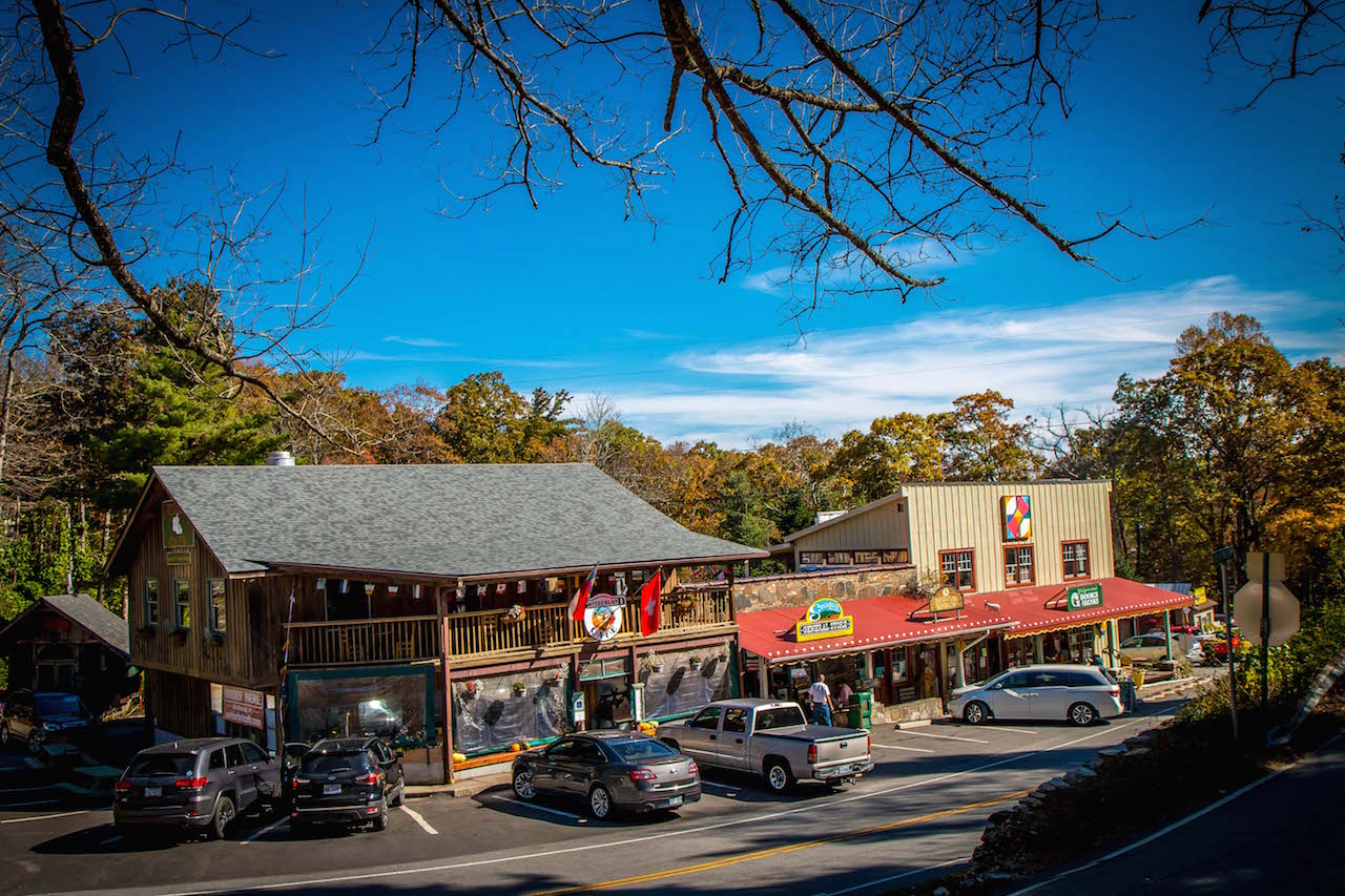
Locals were understandably upset by the idea of a highway running right through their serene retreat, and Clarkson was put off by the amount of land the NC Highway Commission wanted for the road and its scenic easement.
He shrewdly negotiated numerous concessions that make Little Switzerland unique on the BRP today. He was given a whopping $575 per acre, a price 10 times higher than the average that was being paid for land to build the Parkway.
He also made sure there was an interchange right in front of the Switzerland Inn, with none of the protective scenic easements you’ll find on the rest of the Parkway.
As a result, Little Switzerland is the only Blue Ridge mountain town the Blue Ridge Parkway passes through.
READ MORE: The 10 Best Small Towns Near Asheville NC
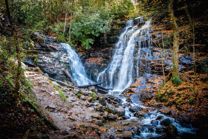
The Eastern Band of Cherokee Indians also resisted giving up the right-of-way through their Qualla Boundary for 5 years, holding out for more favorable terms from the government.
Ultimately their deal assured a $40,000 payment for the tribe’s land, and required the state to build a highway through the Soco Valley (which is now part of U.S. Route 19).
By the early 1950s, only half of the Blue Ridge Parkway construction had been completed. But the National Park System launched a 10-year development program to mark the agency’s 50th anniversary. Known as Mission 66, the plan helped to accelerate efforts to complete the project by 1966.
This mission was largely successful, and by the end of 1966 the Blue Ridge Parkway was complete with the exception of the 7.7-mile stretch around Grandfather Mountain. Overcoming the obstacle behind that delay would take another 21 years.
READ MORE: Exploring Oconaluftee Indian Village & Visitor Center in Cherokee NC
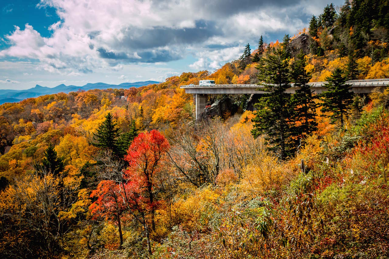
The Linn Cove Viaduct
Hugh Morton inherited ownership of Grandfather Mountain from his own grandfather, and opened it as a tourist attraction soon thereafter. Within 6 months, he had built a road to the summit and a suspension bridge– the Mile High Swinging Bridge– to Linville Peak.
A visionary in the merging of tourism and conservation, Morton was fiercely protective of the mountain, reinvesting the vast majority of his profits into improving Grandfather Mountain’s facilities and preserving its environment.
So when the NPS proposed having the Blue Ridge Parkway cut along its slopes, Morton objected, citing the fragility of the mountain ecology.
Engineers were faced with an enormous challenge, trying to figure out how to build a road at an elevation of 4,100 feet without damaging one of the world’s oldest mountains.
READ MORE: The 10 Best North Carolina Mountain Resorts to Visit

The answer was to elevate the road wherever possible to eliminate massive cuts and fills.
Designed by Figg and Muller Engineers, the 1,243-foot-long Linn Cove Viaduct became the most complicated concrete bridge ever built, with a sweeping “S” curve made up of 153 segments weighing 50 tons each.
Builders pre-cast each section sequentially at an indoor location a few miles from the construction site, and the Viaduct provided the only access road to reach it.
Sections were lowered into place by a stiff-leg crane and epoxied to the preceding segment, with steel cables threaded through them to secure the bridge.
The only ground construction was the drilling of foundations for 7 piers, upon which the Viaduct sits.
All the exposed rocks in the area were covered to prevent them being stained by expoxy or grout, and the concrete was tinted with iron oxide to blend in with existing rock outcroppings.
READ MORE: Hiking Rough Ridge on the Blue Ridge Parkway in NC
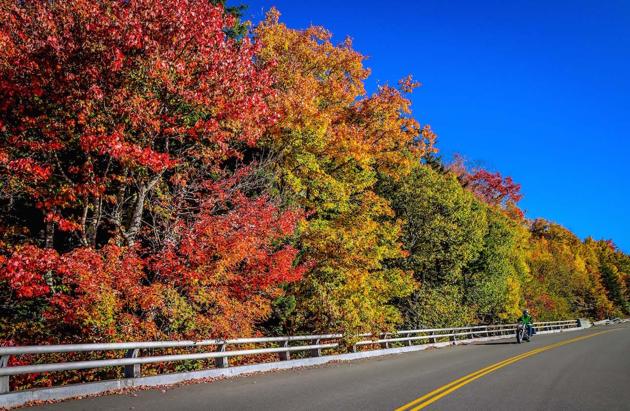
Linn Cove Viaduct construction lasted from 1979 (when the U.S. Congress officially approved funding, at a cost of nearly $10 million) until 1983.
The final 7.5-mile stretch of the BRP also included 12 bridges, a dozen parking overlooks, and the Tanawha Trail, which runs from Beacon Heights to Julian Price Park.
Opened with a ribbon-cutting dedication ceremony on September 11, 1987, this final piece of the Blue Ridge Parkway has been heralded as a masterful example of engineering and environmental protection.
The American Society of Civil Engineers designated it as a National Civil Engineering Landmark.
It is arguably the most marvelous man-made structure you’ll see along the iconic 469-mile scenic route. –by Bret Love; featured image of Grandfather Mountain by Bret Love & Mary Gabbett

