
Glen Burney Falls NC Info
ADDRESS: 243 Laurel Ln, Blowing Rock NC
PHONE: 828-295-5222
COST OF ENTRY: Free (including free parking)
HOURS: Always open
PARKING: Designated parking lot ahead of trailhead
Directions from Boone NC
From Boone NC, follow US-321 S to Sunset Dr in Blowing Rock. After 7.7 miles, continue onto Hardin St, then continue onto US-321 S/Blowing Rock Rd.
In 2.8 miles, continue straight onto US-221 S/US-321 S. Go 4.6 miles, then continue on Sunset Dr, turning left onto Main St after 0.4 miles. In 331 feet, turn right onto Laurel Ln, where the trailhead parking lot will be on the left.
READ MORE: The 20 Best Cabin Rentals in Boone NC
Glen Burney Falls History
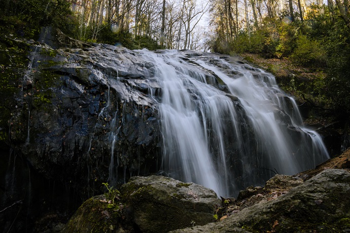
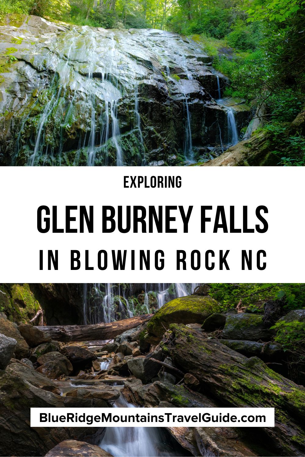
Like the Deep Creek Trail in Great Smoky Mountains NP, hiking the Glen Burney Falls Trail means seeing 3 amazing North Carolina waterfalls in one hike.
Many North Carolina hikers consider this trail a special gem, because it’s rare that natural beauty of this scale can be found right in the heart of such a small town.
Evidence suggests that the trail to reach the falls dates back to 1895, but many locals believe the trail to have been built before the Civil War!
The 33 acres of land upon which the Glen Burney Trail and waterfalls are located were donated to the town of Blowing Rock back in 1906, in hopes that it would serve the community for generations to come.
This trail was later adopted by the Appalachian State University’s Blue Ridge Conservancy Student Club, which holds annual trail maintenance workdays dedicated to the area’s upkeep.
A 2016 grant from the NC State Parks Recreational Trail Program funded the repair and replacement of stone steps and switchbacks, as well as the removal of various debris along the path.
READ MORE: The 25 Best Blue Ridge Parkway Waterfalls in North Carolina
Hiking the Glen Burney Falls Trail
The Glen Burney Trail parking lot and trailhead are located next to Mayview Lake and Annie Cannon Park. We enjoyed hiking this Blowing Rock trail, then strolled into town for a well-deserved snack!
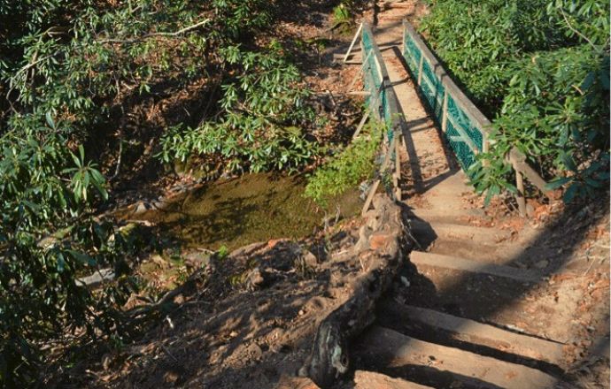
Hikers should note that the Glen Burney Falls hiking trail is considered moderate to strenuous due to rugged, uneven terrain and an uphill climb/clamber on the way out.
It’s only 3.2 miles round-trip, and seems reasonably doable towards the beginning of the trek, but it starts getting slick along the downhill slope about halfway in.
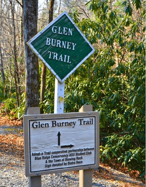
You’ll find a Glen Burney Falls trailhead sign with worthwhile info just before you reach the gravel trail, which soon descends into switchbacks and more taxing terrain.
After about a 1/2-mile, you’ll see a stone structure built in the 1920s that has been taken over by moss and nature. This was one of the first modern waste treatment plants in the Blue Ridge Mountains of NC.
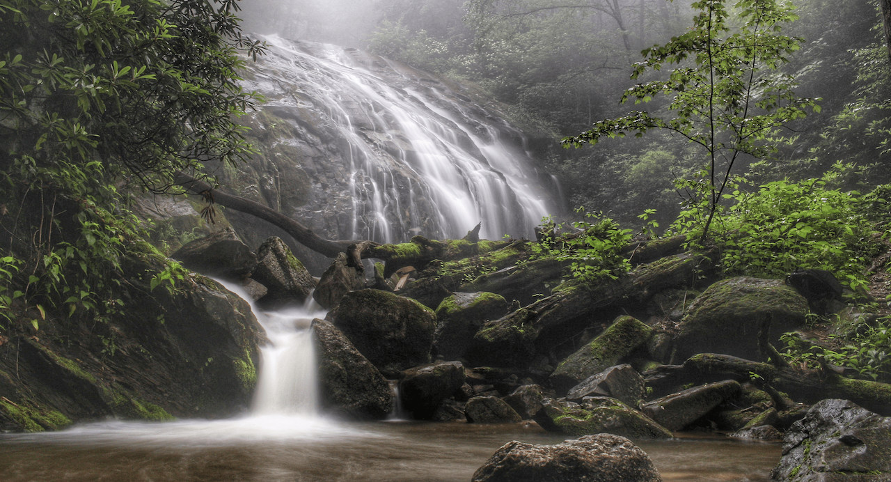
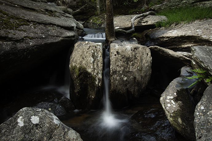
At 1.2 miles you’ll find a picnic table and a deck that overlooks Glen Burney Falls. When you’re done there, you can continue further down the trail to get to Glen Marie Falls, a 3-tiered waterfalls with a 75-foot drop.
On your way out, there’s a relatively steep 600-foot elevation gain from the bottom waterfall back up to the top.
READ MORE: The 10 Best Waterfalls Near Boone NC
Glen Burney Falls Campgrounds
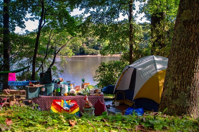
We stayed at the Julian Price Campground (Blue Ridge Parkway Milepost 296), which put us in a great spot for tackling several North Carolina hiking trails without having to drive.
It’s a gorgeous, wooded campground with first come, first served options as well as reserved sites.
We could walk along the Blue Ridge Parkway and take the Boone Fork Trail and the Price Lake Trail right from the campground.
The Green Knob Trail and the Linn Cove Viaduct (via the Tanawha Trail) are just a short drive away, and the magnificent Moses H. Cone Memorial Park is right down the road.
Blue Bear Campground is about 30 minutes from Blowing Rock and offers year-round camping for tents and RVs. They also have several rental cabins and Stargazer Domes, for those more interested in glamping.
Open from March 29 to November 3, the Flintlock Campground is just 20 minutes away. This campground puts you in a great location to explore Boone, Blowing Rock, Beech Mountain, and Banner Elk.
In addition to tent camping and RVs, they also have cabins for rent. Laurel Creek runs right through the campground, and there’s a fun playground for kids.
READ MORE: The 15 Best Campgrounds in the North Carolina Mountains
Other Waterfalls Near Glen Burney Falls
There are other worthwhile waterfalls near Blowing Rock NC, including several along the Blue Ridge Parkway.
Green Mountain Creek Falls is just 15 minutes away, and the 20-foot waterfall can be seen from the roadside. Another great roadside attraction within a 15-minute drive is Silvervale Falls, with its stunning 70-foot drop.
About 30 minutes from Blowing Rock (close to Banner Elk) is Waterfalls Park, where you can see several cascades that make up a 50-foot drop. This park has lots of picnic tables, and it’s a lovely place to spend an afternoon.
Just 10 miles from Blowing Rock, Hebron Falls can be reached by taking the Boone Fork Trail. It starts at Julian Price Memorial Park, and in our experience it’s one of the best hikes near Blowing Rock!
The loop trail is a 5-mile hike, but you don’t have to complete the whole thing. The waterfall is located about 1.1 miles in, and this beautiful trail (which crisscrossed the creek several times) was one of my personal favorites.
Laurel Creek Falls is about 20 miles from Blowing Rock. Reaching the waterfall involves taking a 0.15-mile hike, which gets a little steeper as you get closer.
One of the biggest draws here is an inviting swimming hole at the foot of the falls, which can get pretty crowded when the weather is warm. -by Emma Gallagher; featured photo courtesy of WaterfallsHiker.com

