

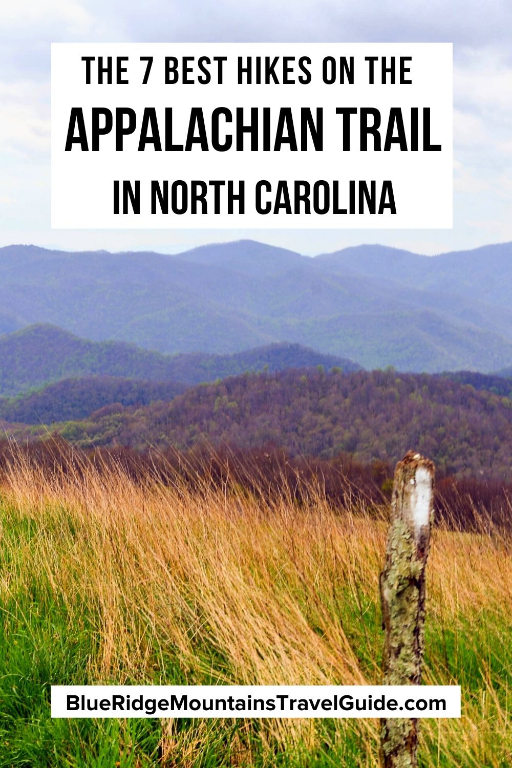
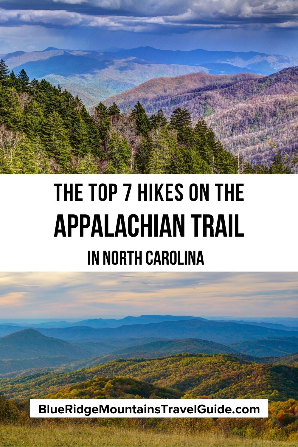
Of the 2,000-plus miles of AT stretching up the East Coast, the Appalachian Trail in North Carolina has just under 100 miles of the world-famous trail coursing through it. Another 217 miles are shared along the Tennessee border.
Nevertheless, some of the most beloved sections are part of the Appalachian Trail in NC, including Clingmans Dome (the highest point on the Appalachian Trail) and the French Broad River (one of the five oldest rivers in the world).
Moving north from the Appalachian Trail in Georgia, the trail enters North Carolina as Georgia‘s Chattahoochee National Forest gives way to the Nantahala National Forest.
It climbs around Fontana Lake, crossing over the tallest dam in the eastern US, before traversing Great Smoky Mountains National Park, the most visited national park in the United States.
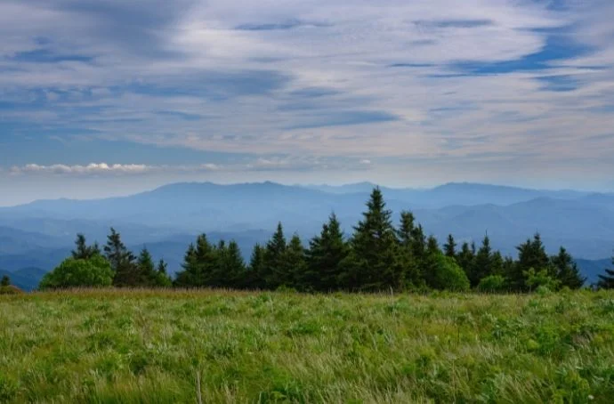
North of the Great Smokies, the AT hits a series of famous grassy balds, such as Max Patch and the Roan Highlands, which comprises the trail’s longest stretch of grassy ridgeline.
In short, there are a lot of primo Appalachian Trail day hikes in NC, and we’ve assembled a handy guide to some of the best!
READ MORE: The 10 Hiking Essentials Packing List for the Blue Ridge Mountains
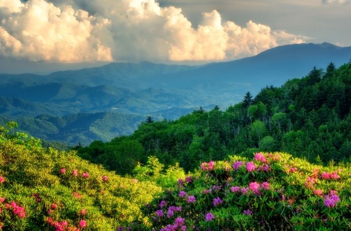
Best Hikes on the Appalachian Trail in NC Guide
- Wesser Bald Fire Tower (2.8 miles)
- New Found Gap to Charlies Bunion (8 miles)
- Mt. Cammerer (11.1 miles)
- Lemon Gap to Max Patch (10.5 miles)
- Lover’s Leap Loop (1.7 Miles)
- Carvers Gap to Grassy Ridge Bald (5.3 miles)
- Carvers Gap to Roan High Knob (4.5 miles)

1. Wesser Bald Fire Tower
Location: Nantahala National Forest
Distance: 2.8 miles
Trailhead: Tellico Road
Not far from the small mountain towns of Franklin and Bryson City, the Wesser Bald section of the North Carolina Appalachian Trail ascends over the Nantahala National Forest. It climbs from Telico Gap to the summit of the mountain.
Though Wesser Bald was once a bald (i.e. no forest to speak of), it is now covered in dense hardwood forest, including a healthy population of rhododendron and mountain laurel.
Luckily, the Wesser Bald Fire Tower rises high above the treetops, and provides an amazing 360º panorama of the surrounding mountains.
The Wesser Bald Fire Tower hike is a 2.8-mile, out-and-back trek that begins and ends in a gravel parking area along Tellico Road (NC SR 1365), gaining nearly 720 feet of elevation along the way.
READ MORE: The 15 Best Treehouse Rentals in the North Carolina Mountains

2. New Found Gap to Charlies Bunion
Location: Great Smoky Mountains National Forest
Distance: 8 miles
Trailhead: New Found Gap Road
New Found Gap offers two amazing journeys on the NC Appalachian Trail, with one direction leading to Clingmans Dome (a 17.4-mile trek) and the other to Charlies Bunion.
The trail to Charlies Bunion is decidedly more doable for a day hike. It takes hikers along mountain crests covered in high-elevation spruce-fir forests, as well as colorful North Carolina wildflowers in late spring and summer.
The trek culminates at a spectacular viewpoint, which is somewhat comically known as Charlies Bunion.
The trek from New Found Gap (with parking on New Found Gap Road) to Charlies Bunion is an 8-mile, out-and-back hike.
It’s heavily trafficked and considered moderate, despite having over 1500 feet of elevation gain.
READ MORE: 15 Highlights of the Mountains-to-Sea Trail in Western North Carolina

3. Mt. Cammerer
Location: Great Smoky Mountains National Park
Distance: 11.1 miles
Trailhead: Cosby Campground
The Mount Cammerer summit sits at 4,928 feet in elevation, which makes it a baby compared to some of the more massive mountains in the Smokies. However, the breathtaking views from the top are simply stunning.
Perched at the peak of Mt. Cammerer is a beautiful octagonal fire tower with a wooden observation deck wrapping around it.
Construction of the lookout tower began in 1937 as a project of the Civilian Conservation Corps, which President Franklin D. Roosevelt instituted as part of his New Deal.
The route to Mount Cammerer involves several trails, starting with Low Gap Trailhead at the Cosby Campground.
After about three miles, the Low Gap Trail intersects with the NC Appalachian Trail. After just over two more miles, the AT crosses the Mount Cammerer Trail. The summit is another half-mile or more from there.
READ MORE: The 15 Best Western North Carolina Mountains For Hiking
4. Lemon Gap to Max Patch
Location: Max Patch Mountain
Distance: 10.5 miles
Trailhead: Max Patch Road
Max Patch Mountain is one of the most popular spots along North Carolina’s Appalachian Trail. The area is renowned for its beautiful fields of wildflowers and spectacular views from the high, bald mountaintop.
Exploring the stretch of Appalachian Trail in NC from Lemon Gap only makes a visit to Max Patch all the more rewarding.
This section of the trail has bold creeks and lovely forests that yield to expansive fields of wildflowers as the altitude climbs.
The trail from Lemon Gap to Max Patch runs a little over 5 miles each way, starting at the Lemon Gap Trailhead on Max Patch Road.
Despite the intimidating length of this Appalachian Trail hike, note that it can get quite crowded on weekends. If possible, it’s best to tackle this one during a weekday.
READ MORE: The Best Hiking in Asheville NC Bucket List (Top 20 Hiking Trails)
5. Lover’s Leap Loop
Location: Pisgah National Forest
Distance: 1.7 Miles
Trailhead: Silver Mine Road
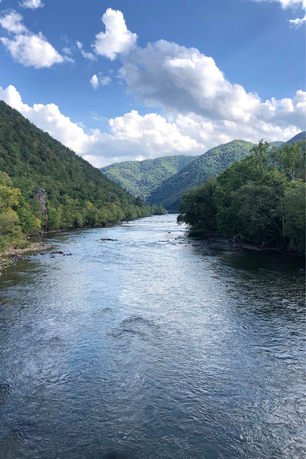
Lover’s Leap is a short, but steep hike near the historic town of Hot Springs NC. It’s located in the Appalachian district of Pisgah National Forest.
Though it may be a relatively abbreviated hike at 1.7 miles, the Lover’s Leap Loop has lots of fantastic scenery, including several fine vistas of the French Broad River and of the small town of Hot Springs.
The loop reaches its pinnacle at Lover’s Leap Ridge, which is the setting of a rather tragic Cherokee love story.
The Lover’s Leap Loop combines a trio of trails and a short walk along the road. It begins at the NOC (Nantahala Outdoor Center) Trailhead along the French Broad River.
The loop takes hikers along the AT as it runs adjacent to the French Broad until finally crossing the Lover’s Leap Trail, which will include Lover’s Leap Ridge, before ultimately sending you home via the Silvermine Trail.
READ MORE: The 20 Best Pisgah National Forest Hiking Trails in North Carolina
6. Carvers Gap to Grassy Ridge Bald
Location: Pisgah-Cherokee National Forest
Distance: 5.3 miles
Trailhead: Carvers Gap
Located right along the North Carolina-Tennessee border, Carvers Gap is the jumping-off spot for two of the best hikes on the Appalachian Trail in NC.
The trip to Grassy Ridge Bald is the longer of the two at 5.3 miles.
Though this trail is extremely well-trodden, there’s no arguing with the fact that the beauty of this section of the North Carolina Appalachian Trail totally warrants the many visitors it gets.
After a quick stroll through the forest, the trail turns to wide-open fields full of wildflowers and even wilder vistas.
The trail from Carvers Gap to Grassy Ridge Bald starts just across the highway from the Carvers Gap parking area, and it follows the AT’s white blazes to the Grassy Ridge offshoot’s blue blazes.
READ MORE: The 21 Best Blue Ridge Parkway Waterfalls in North Carolina

7. Carvers Gap to Roan High Knob
Location: Pisgah-Cherokee National Forest
Distance: 4.5 miles
Trailhead: Carvers Gap
The other great hiking trail from Carvers Gap goes to Roan High Knob, traveling west from the parking area, and offers quite a different experience.
This exceptional Appalachian Trail day hike offers plenty of forest cover, primarily of balsam fir, ferns, and mosses.
It passes by the Roan High Knob Shelter (the highest Appalachian Trail shelter), and there are several stream crossings via small wooden bridges.
It also goes by the former location of the historic Cloudland Hotel (which is no longer there).
The route to Roan High Knob follows the white blazes of the AT west from Carvers Gap for a little over two miles. While there are some slopes, this AT hike gets a moderate rating. —Jonathon Engels; featured image via Canva.com
