
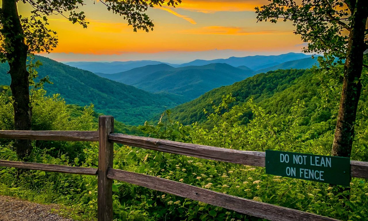
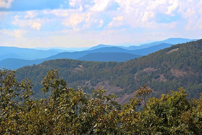
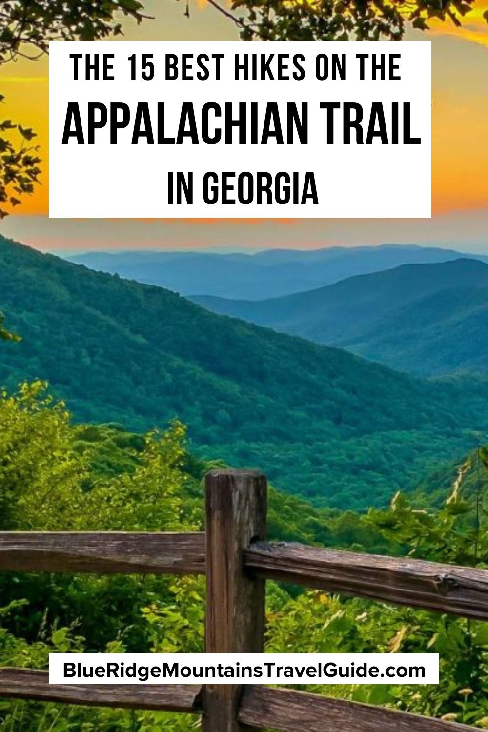
Traversing 2,190+ miles in the Appalachian Mountains across 14 different states, 8 national forests, and 6 national parks, the Appalachian Trail is one of the most iconic and popular hiking trails in the world.
Because of its incredible length, it typically takes adventurous thru-hikers 5 to 7 months to tackle the entire trail.
And while it is a once-in-a-lifetime achievement, hiking the whole trail all the way from Georgia to Maine simply isn’t possible (or advisable) for the average nature lover.
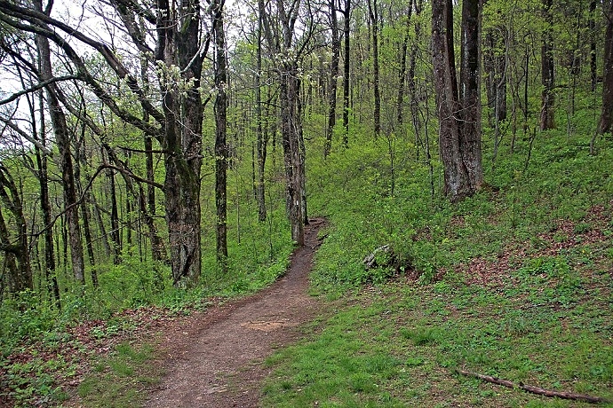
But there’s no rule that says you have to attempt the entire trail in one go. There are countless AT day hikes that allow you to get a taste of this extraordinary trail in sections.
Section hiking the AT in Georgia offers an array of easy, moderate, and strenuous trails that explore some of the state’s most scenic summits (not to mention the Appalachian Trail’s southernmost blaze at Springer Mountain).
Best of all, Springer Mountain is just over an hour north of Downtown Atlanta, and considerably closer to major tourist hubs like Blue Ridge, Dahlonega, and Helen GA.
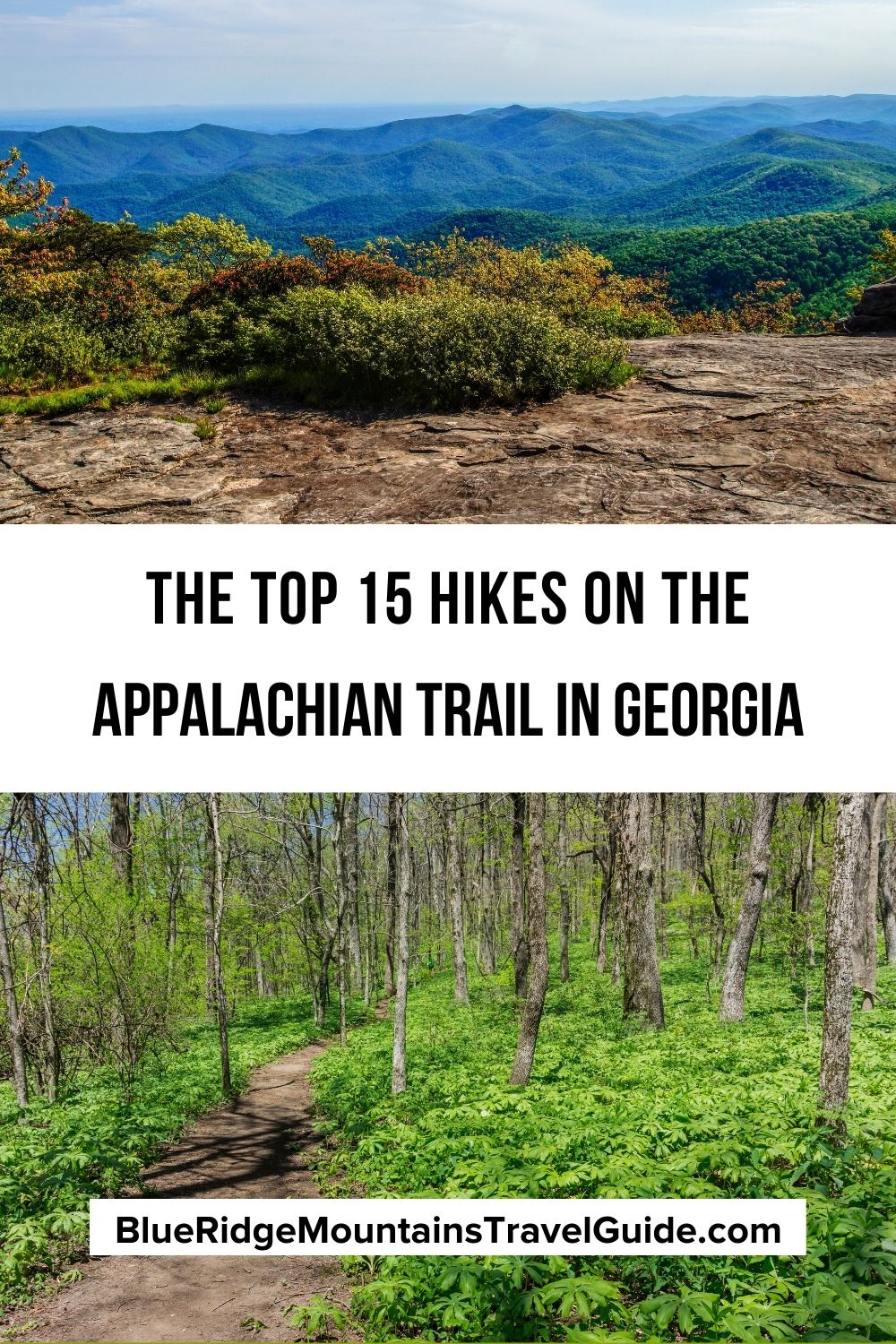
So if you’re ready for an excellent adventure, read on to see our picks for the best day hikes on the Appalachian Trail in Georgia, all of which are sorted by distance and difficulty.
READ MORE: 30 Fascinating Facts About the Appalachian Mountains for Trivia Buffs
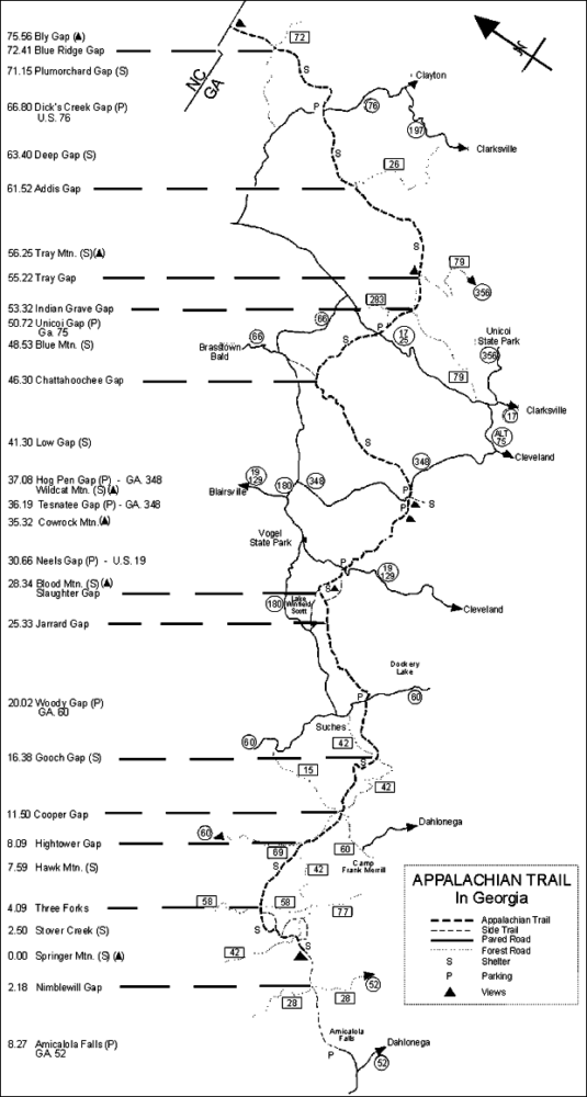
Day Hikes on the Appalachian Trail in Georgia Guide
- Preachers Rock
- Long Creek Falls
- Tesnatee Gap to Cowrock Mountain
- Woody Gap to Big Cedar Mountain
- Springer Mountain Loop
- Ramrock Mountain
- Three Forks to Springer Mountain
- Lake Winfield Scott to Slaughter Mountain
- Blood Mountain
- Appalachian Approach Trail: Amicalola Falls to Springer Mountain
- Indian Grave Gap to Tray Mountain
- Dicks Creek Gap to Powell Mountain
- Unicoi Gap to Rocky Mountain
- Three Forks to Hawk Mountain Shelter
- Hogpen Gap to Unicoi Gap
READ MORE: The 20 Best Places to Celebrate Christmas in Georgia
Easy Appalachian Trail Day Hikes
1. Preachers Rock
Level of difficulty: Easy
Distance: 1.9 miles
Elevation Gain: 439 feet
Given its short length and close proximity to Atlanta (just 1.5 hours away away), Preachers Rock is one of the most popular Appalachian Trail sections for day hikers who want to experience Fall in Georgia.
Located in Cleveland, about 30 miles west of Helen GA, the 1.9-mile trail doesn’t skimp on amazing views of the North Georgia mountains. Some of them can even be seen from the trailhead at Woody Gap at the start of the hike!
You’ll pass several striking overlooks along the way before reaching Preachers Rock. This large rock outcrop offers jaw-dropping panoramic vistas near the summit of Big Cedar Mountain.
On a clear day, you can also spot the tranquil Dockery Lake down in the valley below.
READ MORE: The 25 Best Hiking Trails in North Georgia Bucket List
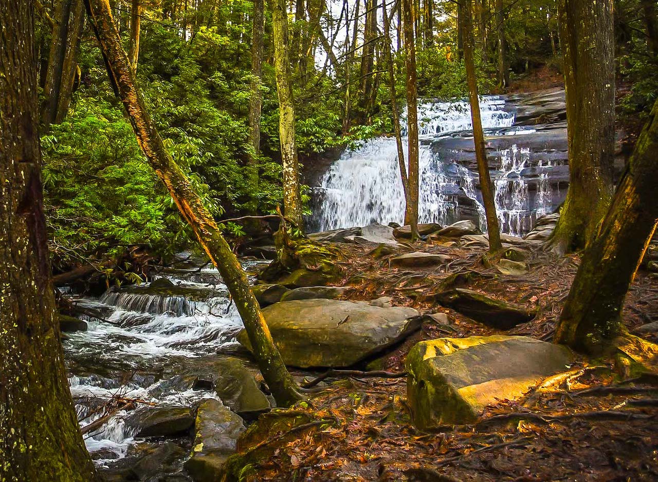
2. Long Creek Falls
Level of difficulty: Easy
Distance: 2 miles
Elevation Gain: 301 feet
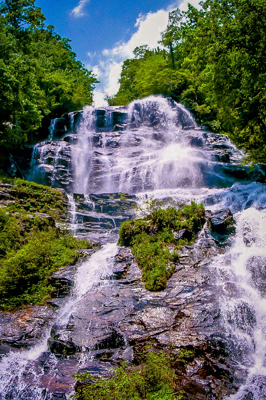
Exploring one of the most beautiful stretches of the Appalachian Trail in GA (as well as one of the few waterfalls on the trail’s southern end), the Long Creek Falls trail was an easy pick for this list.
Starting at a trailhead on Forest Road 58 in Blue Ridge GA, the hike follows the AT northeast, following alongside Long Creek.
Just before reaching the one-mile mark, the hike will come to a signed intersection. Here you’ll follow the blue-blazed trail to make your way to Long Creek Falls.
The waterfall drops over 50 feet before collecting in a tranquil pool below, and is set against a beautiful background of towering hemlock trees, tulip poplar, and rhododendron.
When you’re done absorbing the beauty of the waterfalls, you can retrace your steps to complete the hike at 2 miles.
READ MORE: The 20 Best Easy Hiking Trails to Waterfalls in Georgia
3. Tesnatee Gap to Cowrock Mountain
Level of difficulty: Easy
Distance: 2.25 miles
Elevation Gain: 600 feet
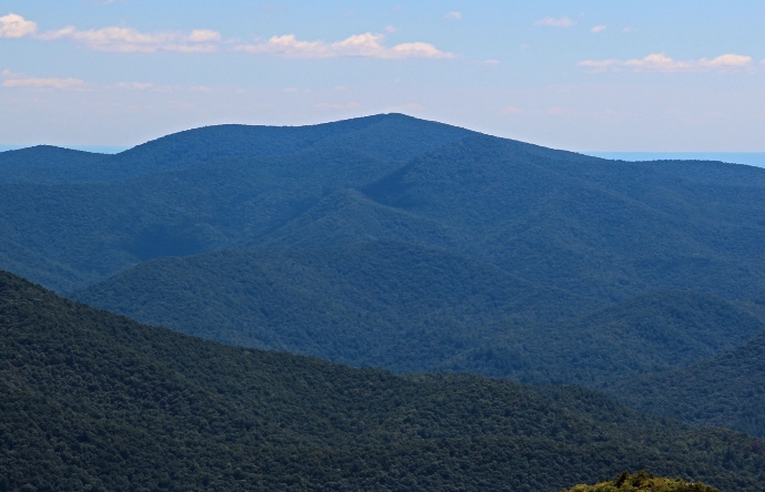
One of the most majestic mountains in North Georgia, Cowrock Mountain is known for offering incredible hikes that lead to breathtaking views.
This particular hike to Cowrock’s summit begins at Tesnatee Gap and follows the Appalachian Trail westbound.
You’ll continue through a series of switchbacks as the forest thickens. If you’re visiting during late spring or early summer, the trail will likely be dotted with beautiful North GA wildflowers.
After less than a mile, the hike reaches the summit of Cowrock, where there’s a smooth rock outcrop that offers perfect places for reveling in the beauty of the Blue Ridge Mountains scenery.
The rest of the hike follows the AT westbound, and then retraces its steps back to the Tesnatee Gap trailhead.
READ MORE: The 15 Best North Georgia Mountains for Hiking
Moderate Appalachian Trail Day Hikes
4. Woody Gap to Big Cedar Mountain
Level of difficulty: Moderate
Distance: 3 miles
Elevation Gain: 600 feet
Easily one of the most impressive mountains of North Georgia, Big Cedar Mountain is located in the Blood Mountain Wilderness portion of the Chattahoochee-Oconee National Forest.
The summit’s exceptional views can be reached by taking a section of the Appalachian Trail starting at Woody Gap, where there are plenty of spots that are perfect for a picnic either before or after your hike.
Entering the forest immediately, the hike follows the blazes of Georgia’s AT through a series of switchbacks before reaching Preachers Rock.
After stopping to soak in the scenery there, continue on the Appalachian Trail, where you’ll soon skim along the top of Big Cedar Mountain.
There you can enjoy the far-flung views of the Blue Ridge Mountains before returning back the way you came.
READ MORE: The 20 Best Places to Celebrate Christmas in Atlanta GA
5. Springer Mountain Loop
Level of difficulty: Moderate
Distance: 4.7 miles
Elevation Gain: 400 feet
Taking trekkers to the southernmost blaze of the Appalachian Trail as well as various other picturesque overlooks, the Springer Mountain Loop trail follows both the AT and the Benton Mackaye Trail.
The trail departs from the Springer Mountain parking area on Forest Road 42 in Blue Ridge and follows the AT westward, steadily gaining elevation as it enters the forest.
After a mile you’ll reach the spectacular summit of Springer Mountain. If you’re seeking a shorter day trip hike, you can simply soak in the sights here and then head back the way you came (for a 2-mile round-trip trek).
But if you want to tackle the full Springer Mountain Loop trail, continue to follow along the Benton MacKaye Trail before ascending Ball Mountain to reach yet another spectacular overlook.
The trail will cross several streams, including Davis Creek (part of Dukes Creek Falls), before making its way back to the Springer Mountain parking area.
READ MORE: 101+ Things to Do in North Georgia
6. Ramrock Mountain
Level of difficulty: Moderate
Distance: 3.6 miles
Elevation Gain: 659 feet
Commonly ranked among the most beautiful mountains in Georgia, Ramrock Mountain provides an exceptionally scenic hiking trail to its summit.
The journey is great for a relatively short day-hike. It begins at Woody Gap (named for iconic Georgia conservationist Arthur Woody), where it immediately follows the Appalachian Trail southbound.
Continuing along stone steps, the rocky trail will pass by some large boulders before reaching a 4-way split.
The AT continues straight, there’s a campsite to the right, and there’s a short side trail to the left that will guide you to Ramrock’s summit.
There you’ll find sweeping views of the rolling mountains on the horizon. And if you’re visiting in the spring, there will also likely be a variety of colorful wildflowers scattered across the clearing.
READ MORE: Non-Venomous vs Venomous Snakes In Georgia (Identification Guide)
Strenuous Appalachian Trail Day Hikes
7. Three Forks to Springer Mountain
Level of difficulty: Strenuous
Distance: 8.6 miles
Elevation Gain: 1,525 feet
Offering an awesome taste of the ATs southernmost blaze, this hike follows the final stretch of Georgia’s Appalachian Trail (or the starting point, if you’re hiking it from south to north).
The 8.6-mile hike explores an incredibly diverse landscape that showcases several creeks (Chester Creek, Stover Creek, and Davis Creek) and dense rhododendron thickets before gifting you with sensational scenic views atop Springer Mountain.
The hike crests the summit at 4.3 miles, allowing you to take in fantastic vistas of the southern Appalachian Mountains. You’ll marvel at their misty rolling layers, which extend far into the horizon.
There are several bronze plaques here that signify the official end of the Appalachian Trail. You can also see the final white blaze of the trail, which is painted on the mountaintop.
READ MORE: The 15 Best Blue Ridge Georgia Cabins to Rent
8. Lake Winfield Scott to Slaughter Mountain
Level of difficulty: Strenuous
Distance: 5.6 miles
Elevation Gain: 1,000 feet
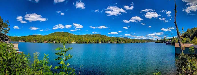
Beginning at Lake Winfield Scott (one of the highest altitude lakes in North Georgia), about 10 miles south of Blairsville, this is another challenging hike that explores the beautiful Blood Mountain Wilderness.
It begins by following the Slaughter Creek Trail and Jarrard Trail before reaching Jarrad Gap at just over a mile, where it intersects with the Appalachian Trail.
From there you’ll follow the white blazes of the AT across a scenic stretch of forest, where you’ll cross by the Gaddis Mountain summit before reaching the Slaughter Creek Trail again at 3 miles.
The strenuous route continues along the Slaughter Creek Trail northbound, crossing several small creeks before reaching the mossy forest below Slaughter Mountain.
The trail then retraces its outbound route to Lake Winfield Scott, completing the hike at 5.6 miles.
READ MORE: The 25 Best Fall Festivals in Georgia
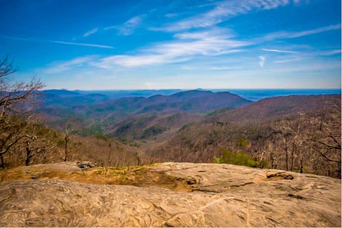
9. Blood Mountain
Level of difficulty: Strenuous
Distance: 4.3 miles
Elevation Gain: 1,400 feet
Standing 4,459 feet tall, Blood Mountain is the highest elevation summit on the Appalachian Trail in Georgia. As a result, it makes for one of North Georgia’s most popular day hikes.
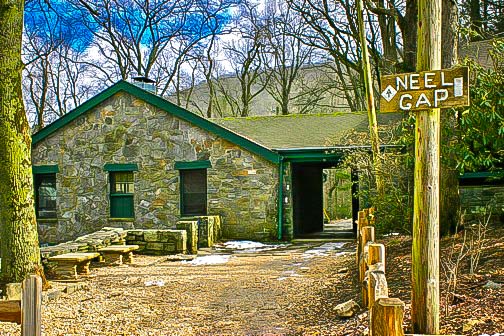
Starting near Neels Gap by the Byron Reece Trailhead, the strenuous trail steadily gains elevation before meeting the Appalachian Trail and following it westbound.
Along the way, you’ll be treated to a few clearings, where you can get glimpses of spectacular views to keep you motivated as you tackle the trail’s tight switchbacks and increasingly tough elevation gain.
When you arrive at the mind-blowing Blood Mountain summit, take some time to relax and gaze in awe as you immerse yourself in jaw-dropping views of the mountain scenery.
Along with the stellar views, the summit also features a rock building constructed by the Civilian Conservation Corps in the 1930s. It provides shelter for through-hikers as they are taking on the entire length of the AT.
READ MORE: The 10 Best Wineries in the North Georgia Mountains
10. Appalachian Approach Trail: Amicalola Falls to Springer Mountain
Level of difficulty: Strenuous
Distance: 15.5 miles
Elevation Gain: 1,250 feet
We’ve already established that there are multiple ways to summit Springer Mountain.
But the AT Approach trail takes you on a longer, more scenic adventure that allows you to take in more of North Georgia’s beauty along the way.
The trail starts near the crest of Amicalola Falls, allowing you to admire the tallest of the North Georgia waterfalls before embarking on your epic adventure.
Hardy hikers can take on the strenuous 15.5-mile trail as a full-day trek. But it can also be split up as a multi-day backpacking trip, since there are multiple campsites along the trail.
Once you reach the summit of Springer Mountain at almost 8 miles, you can spend some time soaking in the splendor before following the Approach Trail back towards Amicalola Falls.
READ MORE: The 20 Best North Georgia Waterfalls (& How to Get to Them)
11. Indian Grave Gap to Tray Mountain
Level of difficulty: Strenuous
Distance: 5 miles
Elevation Gain: 1,250 feet
This popular hike on the Georgia Appalachian Trail travels from Indian Grave Gap through a striking evergreen- and rhododendron-filled forest to the summit of Tray Mountain.
The trail starts at a gravel parking area and takes the AT eastbound. It meets a campsite and an overlook at 1.5 miles in, where you can get a glimpse of Tray Mountain’s peak to your left.
After crossing a gravel road, the trail enters the 10,343-acre Tray Mountain Wilderness and begins a steeper climb through switchbacks before reaching the mountain’s summit at 2.5 miles.
Here you’ll be treated to sweeping views of the rolling Blue Ridge Mountains and the vast Chattahoochee National Forest.
While it may prove hard to pull yourself away from the sensational scenery, the second half of the hike will be quite a bit easier. It follows the outbound route, and is completely downhill!
READ MORE: The 15 Best North Georgia State Parks & Historic Sites
12. Dicks Creek Gap to Powell Mountain
Level of difficulty: Strenuous
Distance: 5.2 miles
Elevation Gain: 1,125 feet
Located 15 miles west of Clayton GA, this stretch of the Appalachian Trail travels from Dicks Creek Gap to the scenic summit of Powell Mountain.
Winding through a hardwood forest 9 miles north of Moccasin Creek State Park, the trail is lined with lush vegetation and is sprinkled with colorful wildflowers in spring and summer.
The trail will pass a small waterfall, a few campsites, and a shallow creek before veering off of the AT onto a side trail, where you’ll eventually reach a rocky overlook.
There you’ll find wide-open views of the beautiful Blue Ridge Mountains. You can even spot the blue waters of Lake Seed, Lake Burton, and Lake Rabun when the skies are clear.
Once you’re ready to leave, the hike follows its outbound steps to the trailhead which, thankfully, is all downhill.
READ MORE: The 15 Best Fall Fairs in Georgia to Visit
13. Unicoi Gap to Rocky Mountain
Level of difficulty: Strenuous
Distance: 5.1 miles
Elevation Gain: 1,050 feet
At just over 5 miles, the hike from Unicoi Gap to Rocky Mountain is widely considered one of the best AT section hikes in Georgia. That is, if you’re willing to take on 1,000+ feet of elevation gain and some seriously rocky sections!
The strenuous trail starts at the Unicoi Gap trailhead near the Blue Ridge mountain town of Hiawassee GA, where you can find a boulder with an embedded plaque that commemorates the iconic Appalachian Trail.
From there, you’ll follow the AT east to climb a set of stairs into the rocky forest. The canopy will open up as you reach Rocky Mountain’s peak, where you can stop and rest while you savor some truly unforgettable scenery.
But the views don’t end there: As you depart the summit, you’ll still be able to see the beautiful Georgia mountains as you continue towards the end of the hike at Indian Grave Gap, and eventually back to Unicoi Gap.
READ MORE: The 15 Best Things to Do in Hiawassee GA & Young Harris GA
14. Three Forks to Hawk Mountain Shelter
Level of difficulty: Strenuous
Distance: 9.1 miles
Elevation Gain: 750 feet
This section of Georgia’s Appalachian Trail is one beautiful hike, visiting gorgeous waterfalls, an old cemetery, and an AT shelter, all while exploring gorgeous North Georgia forests.
The trail begins at the gravel Forest Road 58 and enters the forest, following along Long Creek. Before even reaching a mile, you’ll reach the 50-foot cascades of Long Creek Falls.
From there, the trail continues to follow the AT through switchbacks and past a number of campsites, which you can stop at if you’re breaking the hike up into a multi-day backpacking adventure.
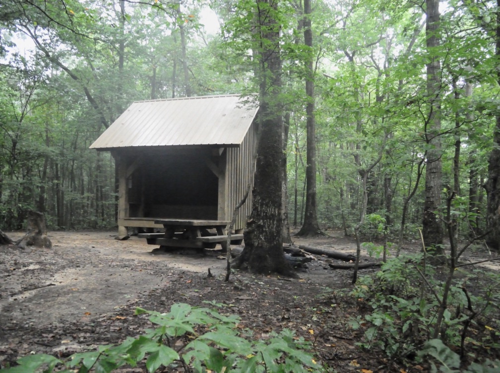
At just over 2 miles you’ll reach the Hickory Flatts Cemetery, which you can check out before continuing on the AT to reach the Hawk Mountain Shelter.
The trail continues to Appalachian Blue Ridge Road before turning and retracing its outbound route to complete the hike at 9.1 invigorating miles.
READ MORE: Fall in the Mountains of North Georgia (Where to See the Best Fall Colors)

15. Hogpen Gap to Unicoi Gap
Level of difficulty: Strenuous
Distance: 14.5 miles
Elevation Gain: 2,654 feet
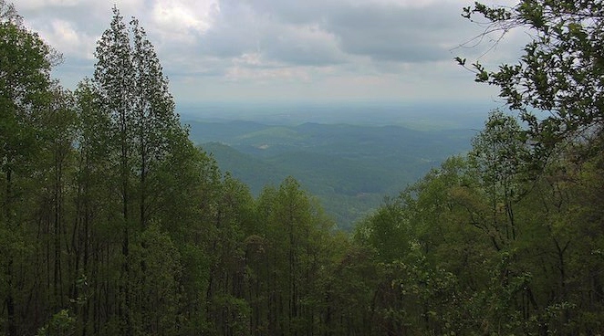
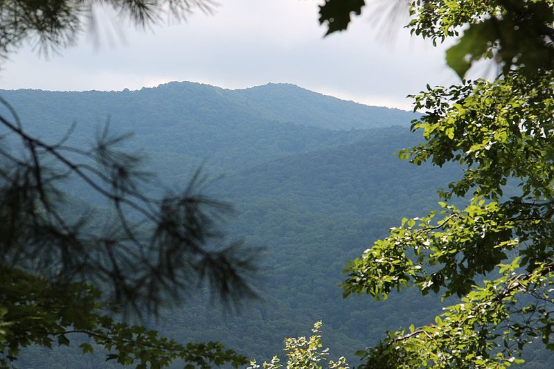
While this stretch of the AT in Georgia lacks some of the jaw-dropping summit views that others on this list offer, the charm of hiking from Hogpen Gap to Unicoi Gap lies in the forest itself.
The strenuous trail is fairly secluded. You’re not likely to come across many other hikers along the way, so you can enjoy the solitude of being immersed in some of the most pristine stretches of North Georgia forest.
Located off the Richard B. Russell Scenic Highway between Blairsville and Helen, the trail also has paved-road access on both ends. So you can make it a day hike and arrange for someone to pick you up at the end of the 14.5-mile journey.
Or you can follow the outbound route in reverse from Unicoi Gap back to Hogpen Gap, to complete a multi-day backpacking adventure that will be a total of 29 miles.
Along the hike, you’ll come across two Appalachian Trail shelters, the headwaters of the Chattahoochee River, and plenty of backcountry campsites.
The path is well-maintained, but you’ll likely find yourself clambering over some rocks and roots along the way. If you hike it, be prepared for a serious workout! –by Christina Maggitas; lead image of Hogpen Gap by Bret Love & Mary Gabbett
