
There are plenty of fun things to do in Cherokee NC, which is located on the Oconaluftee River, just 10 miles from Bryson City and 5 miles from Great Smoky Mountains National Park.
Located within the Qualla Boundary (a land trust held on behalf of the federally recognized Eastern Band of Cherokee), Downtown Cherokee is a fantastic jumping-off point for adventures to explore nearby hiking trails and waterfalls.
Before heading off into the wilderness, it’s worth stopping at The Museum of the Cherokee Indian and the authentic Oconaluftee Indian Village to gain a better understanding of Cherokee Culture and history.
After you’ve had your fill of local fare (try the fry bread!) at the myriad Cherokee NC restaurants, we highly recommend you check out some of the many Cherokee NC waterfalls.
With the gorgeous Great Smoky Mountains towering all around the town, there are an impressive number of waterfalls near Cherokee, North Carolina to explore.
Some of them are so close to Downtown Cherokee that you could easily visit several of our favorite waterfalls in one day.
There are Cherokee waterfalls to suit every level of hiking ability, with some that are perfect for photo opportunities and others that offer fun river tubing options.
There are even a few where you can get a spectacular view right from your car!
Read on for our guide to the best waterfalls near Cherokee NC, including a description of the trail and waterfalls, insider tips from personal experience, and a handy map for your Cherokee waterfalls road trip.
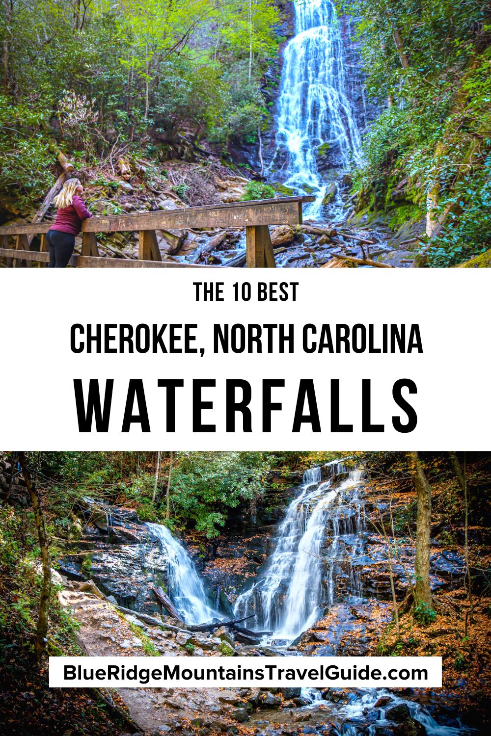
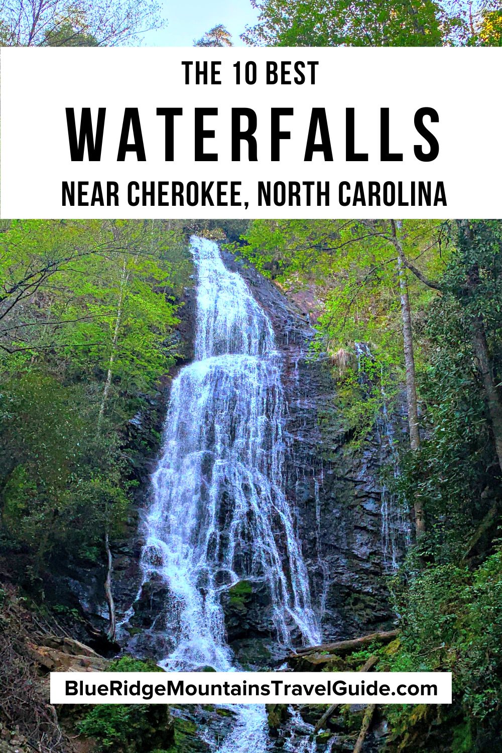
Best Waterfalls Near Cherokee NC Guide
(Arranged by distance to Downtown Cherokee NC)
- Mingo Falls
- Tom Branch Falls
- Indian Creek Falls
- Juney Whank Falls
- Cliff Branch Falls
- Soco Falls
- Flat Creek Falls/Nellie’s Falls
- Woodfin Falls/Woodfin Cascades
- Findley Falls
- Upper Nantahala Cascades
READ MORE: The 15 Best Things to Do in Great Smoky Mountains National Park
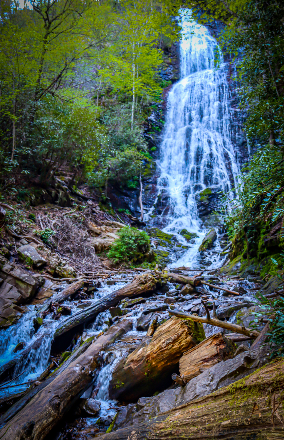
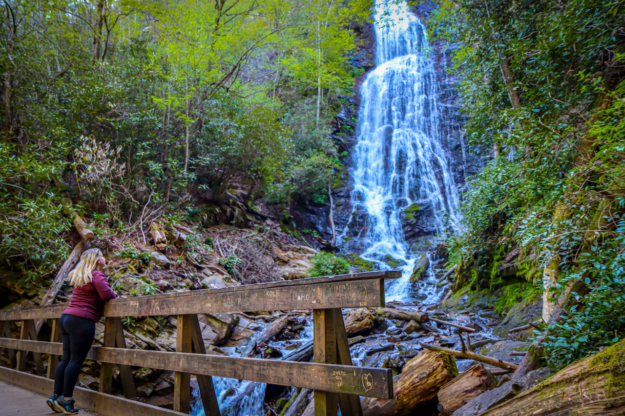
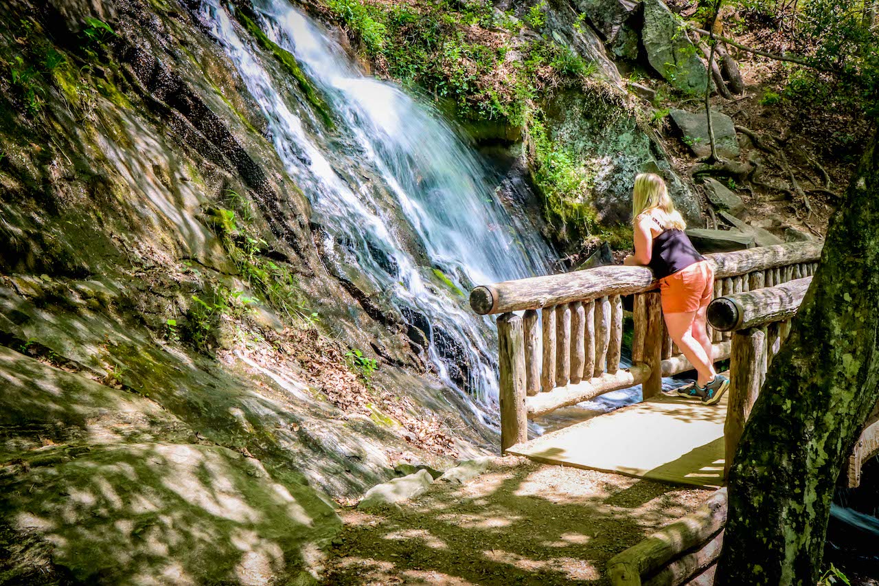
1. Mingo Falls (Cherokee NC)
Distance from Downtown Cherokee: 7 miles
Level of Difficulty: Moderate
Trail Length: 0.3 miles round-trip
One of the tallest and most spectacular waterfalls in the Appalachian Mountains region, Mingo Falls is definitely worth adding to your “must-see” list.
Mingo means “Big Bear” in the Cherokee language, and this 120-foot waterfall is truly breathtaking to behold.
The entire hike is only about 1/4-mile round-trip, but it’s the 161 steps you have to climb to get to the falls that put this on the moderate side of the hiking trails scale.
Once you’ve managed the steps and crept around an outcropping of boulders, you’ll reach a wooden bridge that puts you at the base of Mingo Falls.
Mingo Falls is open to the public at all times. You’ll be looking for the small parking lot for the Pigeon Creek Trail trailhead, which leads to one of our favorite waterfalls in North Carolina.
This waterfall is particularly beautiful first thing in the morning, when the sunlight is dancing off the water and the fog adds an air of magic and mystery. It’s also a great way to beat the midday crowds!
READ MORE: The 15 Best Cabins in Cherokee NC for Rent
2. Tom Branch Falls (Bryson City NC)
Distance from Downtown Cherokee: 8.4 miles
Level of Difficulty: Easy
Trail Length: 0.3 miles
If you’re looking for North Carolina waterfalls that offer all-inclusive family fun, Tom Branch Falls has to be near the top of your list.
Located 8.4 miles from Downtown Cherokee in Bryson City, this was our first stop on the Deep Creek Trail to 3 waterfalls in Great Smoky Mountains National Park.
After leaving your car in the ample (and well-marked) parking lot at the head of Deep Creek Trail, head out along the short, wide, and flat trail to Tom Branch Falls.
Benches and sitting rocks invite you to stop for a spell and take in this picturesque, 60-foot waterfall.
You’ll often see kids playing in the shallow waters at the foot of the falls, and families tubing down the river.
READ MORE: The 10 Best Places for River Tubing in North Carolina Mountains
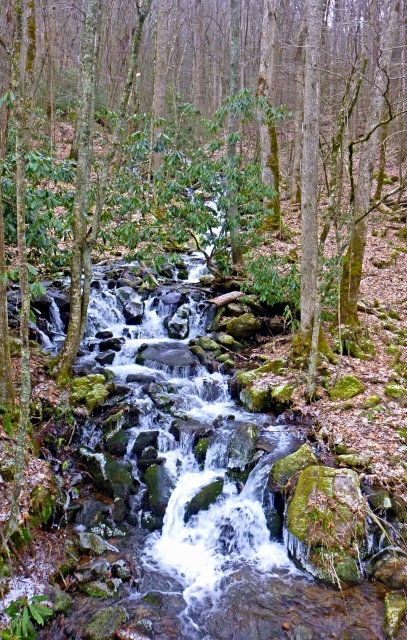
3. Indian Creek Falls (Bryson City NC)
Distance from downtown Cherokee: 8.4 miles
Level of Difficulty: Easy
Trail Length: 1.6 miles round-trip
If you’re up for a longer stroll, continue on the Deep Creek Trail past Tom Branch Falls for another 0.4 miles, where you’ll reach the junction for the Indian Creek Trail.
Walk just 200 feet along this trail and you’ll reach an overlook of the stunning Indian Creek Falls, yet another family-friendly destination.
This 45-foot-tall waterfall is nestled against a lush forest backdrop, and offers a shallow swimming hole that’s perfect for cooling off on a hot summer’s day.
Being able to hit two impressive Western North Carolina waterfalls in an easy 1.6-mile hike should make the 8-mile drive from Downtown Cherokee well worth the effort.
But there’s also a third waterfall on the Deep Creek Trail…
READ MORE: 20 Best Things to Do in Bryson City NC & Swain County
4. Juney Whank Falls (Bryson City NC)
Distance from downtown Cherokee: 8.9 miles
Level of Difficulty: Moderate
Trail Length: 0.8 miles round-trip
If you’re up for a slightly more strenuous hike on the Deep Creek Trail, you can add Juney Whank Falls to the loop and get three different Cherokee waterfalls under your belt. in just a few hours
This waterfall is divided into the upper and lower Juney Whank Falls, which together make up a 90-foot drop.
They both can be viewed from the wooden bridge right at the base of the lower falls.
The 0.8-mile round-trip loop is considered moderate due to some uneven paths and inclines, but reasonably fit hikers should have no trouble.
You could organize your hike to exit the Juney Whank trail onto the Deep Creek Trail before tackling the other two waterfalls, but we saved Juney Whank Falls for last.
READ MORE: The 15 Best Bryson City Restaurants for Breakfast, Lunch & Dinner
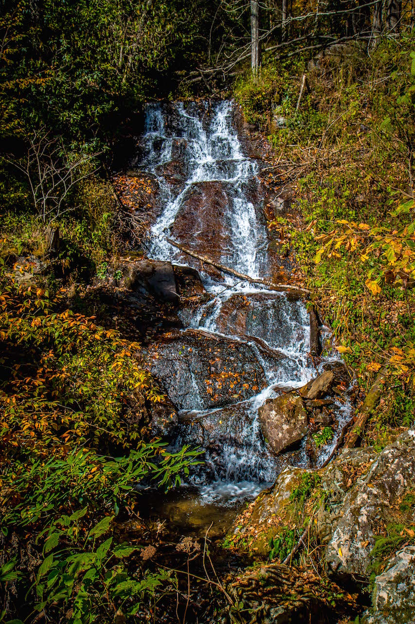
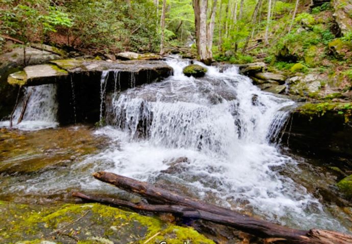
5. Cliff Branch Falls (Bryson City NC)
Distance from downtown Cherokee: 10 miles
Level of Difficulty: Easy
Trail Length: No trail
Just 6.5 miles north of the Oconaluftee Visitor Center, right past Mingus Mill, Cliff Branch Falls is a little gem to add to your list of Cherokee NC waterfalls to visit.
The 12-foot-tall waterfall is located right by the roadside, so it’s perfect for those who aren’t up for a hike.
You can even see it right from the comfort of your car!
If you want to stop for a less fleeting look at one the area’s lesser-known waterfalls, there is a small parking lot here, plus plenty of space for a picnic.
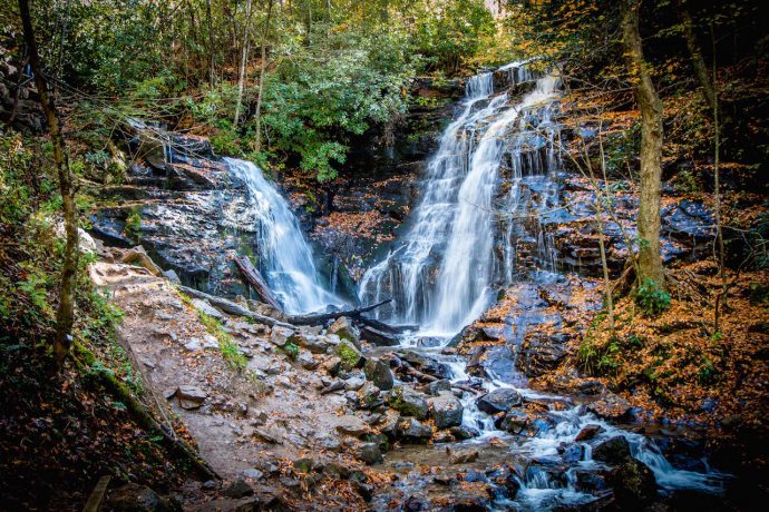
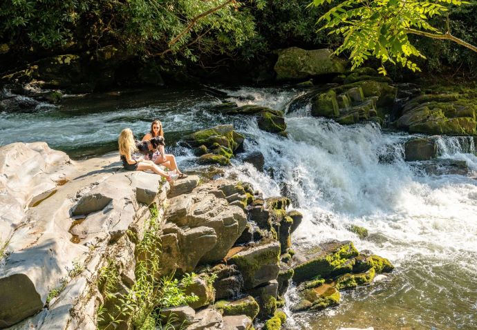
6. Soco Falls (Maggie Valley NC)
Distance from downtown Cherokee: 11 miles
Level of Difficulty: Easy
Trail Length: 0.2 miles round-trip
Located between Cherokee and Maggie Valley NC, Soco Falls is another treasure that requires very little effort to see.
A short walk from the tight parking lot gets you to a nice lookout where you can easily take in the views of the tallest of the two falls (120 feet).
During the winter months, when there are fewer leaves, you can also get a glimpse of the second waterfall.
Those who are more sure-footed and able-bodied can clamber down the rocks, using strategically placed ropes, to get a view of both waterfalls from the base.
It goes without saying that these rocks can get pretty slick, so watch your step.
READ MORE: The 20 Best Places to Visit in North Carolina for 2023
7. Flat Creek Falls/Nellie’s Falls (Glenville NC)
Distance from downtown Cherokee: 19.4 miles
Level of Difficulty: Easy
Trail Length: 4.6 miles round-trip
Located near Panthertown Valley, Flat Creek Falls and Nellie’s Falls are two waterfalls you can visit in one trip.
You can reach Nellie’s Falls from the same trailhead as Flat Creek Falls.
The hiking trail is not terribly obvious, so be on the lookout for the trail that leads to Nellie’s Falls.
This hike begins with a wade across a ford, where two logs are placed to help you get across without getting too wet.
Once you reach Flat Creek Falls, a large boulder invites you to sit and take in the beautiful 200-foot waterfall before you.
You’ll find Nellie’s Falls a couple of miles upstream. Though it’s not quite as grandiose as Flat Creek Falls, it’s perfectly picturesque with its moss-covered boulders and lush forest backdrop.
READ MORE: The Moon Eyed People & Other Cherokee Legends
8. Woodfin Falls/Woodfin Cascades (Sylva NC)
Distance from downtown Cherokee: 20.9 miles
Level of Difficulty: Easy
Trail Length: No trail
Located about 14 miles northwest of Sylva NC, Woodfin Falls (a.k.a. Woodfin Cascades) can be seen from the Woodfin Cascades Overlook (MP 446.7) on the Blue Ridge Parkway.
This beautiful Blue Ridge Parkway waterfall is much easier to see after a large downpour, when the water is running more ferociously over the 200-foot drop.
If you are up for a short walk down to the base of the waterfall, there is a trail to follow that’s marked with blue-painted spots on trees for about 0.2 miles.
Note that it’s not a very well-maintained trail, with foliage creeping at your ankles and low-hanging branches to contend with. It’s a downhill trail and slippery at times, especially after rains.
But the view from the shoulder of the Blue Ridge Parkway is perfectly fine if you’re not up to clamber down.
READ MORE: The 15 Best Things to Do in Sylva NC & Dillsboro NC
9. Findley Falls (Bryson NC)
Distance from downtown Cherokee: 29.4 miles
Level of Difficulty: Moderate
Trail Length: 0.25 miles
Located on Ledbetter Creek in the Nantahala Gorge, Findley Falls is actually a series of small waterfalls that can be reached by following a short, relatively easy-to-manage trail.
There is a parking lot here with picnic tables, but no obvious signposts for the trailhead.
The trail passes right through the picnic area, and the falls are about 1/4-mile upstream from the trailhead. Just follow the sounds of crashing water and you can’t miss it!.
This area is also very popular for water-based activities such as kayaking and white water rafting, as well as an opportunity to try out ziplining.
READ MORE: The Best Things to Do in Cashiers NC & Jackson County
10. Upper Nantahala Cascades (Topton NC)
Distance from downtown Cherokee: 30 miles
Level of Difficulty: Easy
Trail Length: 0
Located near Findley Falls, the Upper Nantahala Cascades are another delight that can be viewed without even getting out of your car.
This series of cascades begin about 1000 feet above the base of the Gorge, and there are great views available from Wayah Road or Old River Road.
There are plenty of spots to sit for perfect photographs of the falls, or just to soak in the incredible power and beauty of the cascades. Note that extreme caution should be taken on the rugged, sometimes slippery rocks.
The area is also popular for a number of water-based activities, and you’ll likely pass the white water rafting put-in on your way to the falls.
If you’re interested in guided (or self-guided) trips down the Nantahala River, we recommend the Nantahala Outdoor Center. -by Emma Gallagher; featured image of Mingo Falls by Bret Love & Mary Gabbett
