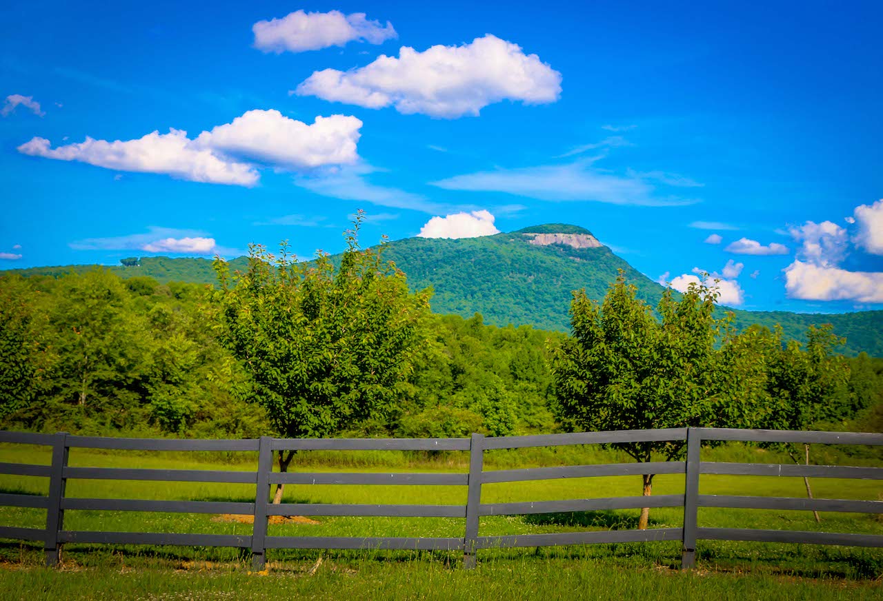
On a recent “Moms Only” weekend getaway to the Sautee-Nacoochee Valley in North Georgia, I convinced my girlfriends to join me on a morning excursion, which included hiking the Yonah Mountain trail.
We had all celebrated my 40th birthday a few years ago at the nearby Yonah Mountain Vineyards. But none of us had ever climbed the mountain, which looms large above the small towns of Cleveland and Helen.
We’re all fairly active and exercise often, but I’m the only one that goes hiking in the North Georgia mountains regularly.
I lured them to join me with promises of a heart-pumping workout, breathtaking scenic overlooks, and a feeling of accomplishment once we inevitably conquered one of the best hikes in Georgia.
The hike to the summit is only 2.25 miles, but it boasts an impressive 1,466 feet of elevation gain along the way. It’s a great hike for anyone seeking an outdoor challenge.
Read on for our guide to the Yonah Mountain trail, including some history of the area, directions, and details about one of the most popular hiking trails in Georgia.
READ MORE: The 25 Best Things to Do in Helen GA
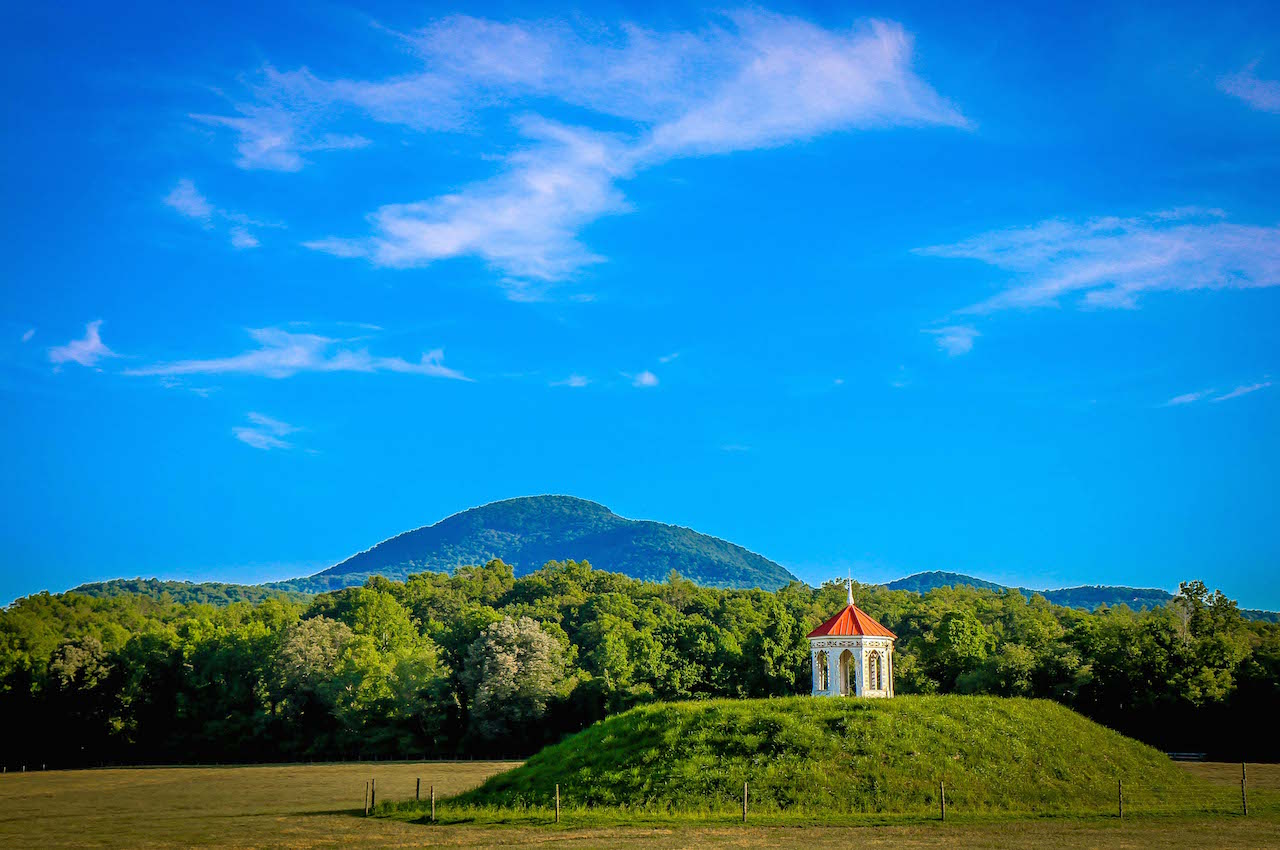
Yonah Mountain History
Mount Yonah is in the Chattahoochee-Oconee National Forest, located in White County GA between the Blue Ridge Mountain towns of Helen and Cleveland.
Yonah is the Cherokee word for “bear.” The mountain is historically referenced in a Native American legend featuring a romance between a Cherokee princess (Nacoochee) and a Chickasaw warrior (Sautee).
To the disapproval of Nacoochee’s father, the lovers eloped, only to be chased by band of Cherokee warriors.
Sautee was ultimately captured and thrown to his death off the peak Mt. Yonah. The heartbroken Nacoochee reacted by leaping after her lover into the arms of eternity.
North Georgia natives often refer to the mountain’s summit as “Yonah Bald,” because of the towering granite outcroppings visible near the peak.
The U.S. Army uses these cliffs to conduct portions of their Ranger Training on Yonah Mtn, and the 3,166-foot peak is a popular rock climbing destination.
These granite cliffs, ledges, and outcroppings have unfortunately contributed to three Yonah Mountain deaths over the past 15 years.
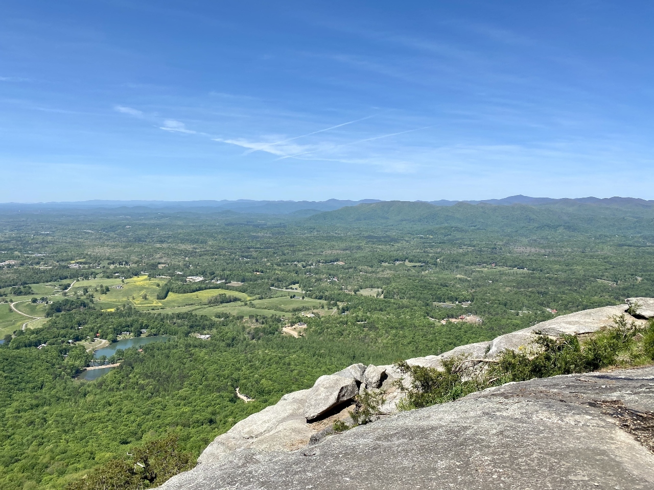
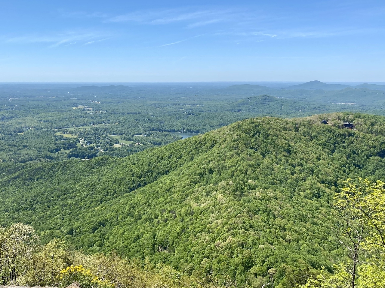
Mount Yonah showcases some of the most incredible views of Georgia’s Blue Ridge Mountains. But the hiking trails near the rock face can be narrow, rocky, and slippery after a recent rain.
Caution is especially urged while taking photos– especially selfies– from the granite peak of the mountain. Hiking essentials such as proper shoes should be worn, in addition to being sure-footed while exploring the top.
Having hiked the Yonah Mountain Trail, I believe reasonable attentiveness will make it a safe hike for most adults. While children can certainly manage the trek, it’s best to keep younger kids under a watchful eye near the slippery summit.
READ MORE: The 15 Best Restaurants in Helen GA for Breakfast, Lunch & Dinner
Hiking the Yonah Mountain Trail
One of the best things about the Yonah Mountain hike is that there is no entrance fee or permit required.
The Mount Yonah Trailhead is accessible via a short Forest Service Road. The road is gravel, steep, and a little bumpy, but we made the day trip from Atlanta in a minivan with no issues. We just navigated carefully and took our time.
The parking lot was already fairly busy on Saturday morning when we set out, and we made a quick stop at the restrooms before starting.
Note that there is not a fresh water source here, and there are few trash cans. So make sure to bring plenty of water along, and “pack it out” if you’re bringing snacks with you.
We met another group of Mt. Yonah first-timers in the parking lot who were waiting for a guide. The “guided hike” aspect piqued our excitement, but I relied on a GPS hiking app to guide our trip.
The Yonah Mountain trail was busy, but not congested, and everyone we met was very friendly. Dogs are welcome, but note that they must be on a leash at all times.
My girlfriends were quite impressed with the cardio workout that even a short hike can be. Even though we regularly exercise, we had to stop and catch our breath a few times on the way up.
I typically wear hiking shoes and use trekking poles when I hike. But my friends struggled a bit because the tread on their sneakers was not sufficient enough to keep them from slipping in certain places on the trail.
The Yonah trail can be steep and riddled with roots, and there are a few boulder scrambles to maneuver over and around.
READ MORE: The 15 Best Waterfalls Near Helen GA
The View Atop Mount Yonah
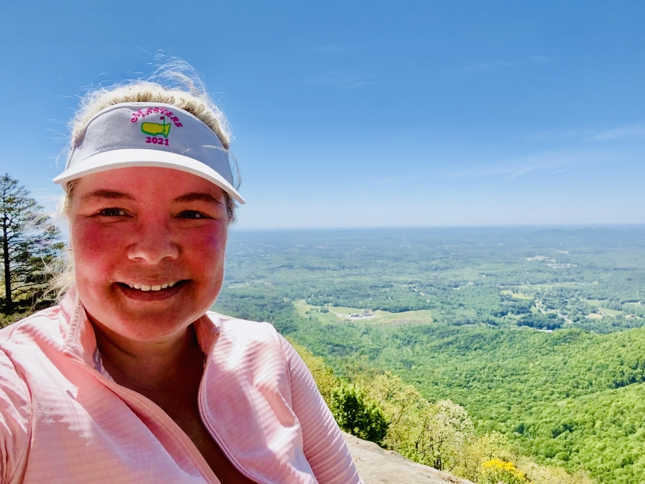
We completed the hike from the parking lot to the summit of Mount Yonah in 90 minutes. A trail runs the circumference of the top and offers panoramic views in every direction.
The rolling hills of the Blue Ridge Mountains stretched out before us like an undulating green carpet, and the sky was clear for miles in every direction.
We took a few pictures and relaxed on the vista while people-watching (and cringing at a few of the crazy folks taking photos while leaning out over the edges).
We wore leggings and athletic tops, but the wind atop Yonah Mountain was chilly, even though it was a warm, sunny day.
My girlfriends and I had booked massages for the afternoon. So after walking the perimeter trail to gaze wistfully at the Yonah Mountain Winery below and scout for Army Rangers, we decided to head back.
While the hike down Mt Yonah was not as strenuous, it was even more treacherous, given the footwear choices of our group. There were a few spots where my friends elected to scoot down on their rear ends rather than risk a fall.
The Yonah trail seemed to be getting more busy as we encountered folks ascending to the top. We felt very accomplished as we encouraged them to keep going: “You’re almost there! The views are incredible!”
We completed the hike down in just under an hour. The parking lot was completely full by this time— just before noon on a Saturday— so we were glad we’d dedicated our morning to the Yonah Mountain hiking trail.
Although it was an aggressive and challenging “first hike” for my girlfriends, it was very doable for adventurous people in relatively good physical condition.
READ MORE: 15 Award-Winning North Georgia Wines Worth Tasting
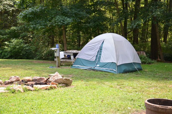
Mount Yonah Campgrounds
Looking for cool campgrounds in the Yonah area?
Located near the base of Mt. Yonah, the Yonah Mountain Campground offers RV and tent camping, including pull-through sites, water and sewer hook-ups, and fire rings at each site.
The property also features wi-fi throughout, picnic pavilion, a recently remodeled Bath House, fishing hole, horseshoes, a basketball court, playground, and a swimming pool in the peak summer season.
Reservations can be made via the campground’s official website.
It’s also permissible to tent camp on the Yonah summit.Note that Mount Yonah camping is primitive, as there are no restrooms and picnic tables are not provided. We saw several campers in hammocks, relaxing and enjoying the view.
For those seeking more creature comforts in their overnight accommodations, there are also many rental cabins in Helen available nearby.
Yonah Mountain is located just 6 miles south of downtown Helen, so all of the area’s best restaurants and attractions (including Unicoi State Park) are less than 10 minutes away.
READ MORE: The 15 Best Campgrounds in North Georgia
Mt. Yonah Directions
The approximate address for Mt Yonah is 1900 Chambers Road, Cleveland, Georgia.
If you’re using a GPS for driving directions, search for Mt. Yonah rather than Yonah Mountain. The latter search term will take you to a private gated road.
Directions From Atlanta
From Atlanta, go north on GA-400 and continue on GA-115. Turn right on GA-52 and go 6.8 miles. Turn left on Appalachian Pkwy/Wilford Ash Senior Pkwy and go 10 miles. Turn right on Tom Bell Road and go 0.9 miles, then take the 2nd right onto Chambers Road. Go 0.7 miles and turn right on Forest Service Road 323; you’ll see the parking lot in 0.3 miles.
Directions From Helen
From Helen, take GA-75 South to Tom Bell Road and turn left. Go 0.9 miles and take a right onto Chambers Road. Go 0.7 miles and turn right onto Forest Service Road 323. Take FS 323 0.3 miles into the parking lot.
Directions From Cleveland
From Cleveland, take GA-75 North and turn right onto Tom Bell Road. Go 0.9 miles and take a right onto Chambers Road. Go 0.7 miles and turn right onto Forest Service Road 323. Take FS 323 0.3 miles to reach the parking lot. -by Jennifer Worrel; lead image by Bret Love & Mary Gabbett

