[Updated November 26, 2021]
If you spend much time exploring outdoor attractions in my native state, you’ve gotta wonder who’s responsible for naming the countless waterfalls in Georgia. And more importantly, why aren’t their names more distinctive?
For instance, the Angel Falls Trail leads to one of our favorite waterfalls in Rabun County GA.
But that waterfall, which is in the town of Lakemont, is actually named Panther Falls (which is not to be confused with Panther Creek Falls in nearby Clarkesville).
And of course the little-known Panther Falls GA is not to be confused with Panther Falls VA, which a lot more people seem to search for!
As for Angel Falls, that name was already taken by the world’s tallest uninterrupted waterfall– a UNESCO World Heritage Site in Venezuela– not to mention a 90-foot waterfall in Maine. To be blunt, the Angel Falls in Georgia doesn’t fare well in comparison.
So perhaps the confusion surrounding the monikers explains why Angel and Panther Falls aren’t as well-known as other Rabun County hikes, such as Minnehaha Falls and Hemlock Falls.
But with both waterfalls located along a 1.75-mile out-and-back trail through a gorgeous forest filled with hemlock and rhododendron, it remains one of our favorite easy waterfall hikes in GA.
Read on for our in-depth guide to these two North Georgia waterfalls on Lake Rabun, including some history of the area, driving directions, and a detailed description of the hike itself.
READ MORE: 101+ Things to Do in North Georgia
Panther Falls & Angel Falls GA Info
ADDRESS: 5315 Lake Rabun Rd, Lakemont GA 30552
PHONE: 706-754-6221
COST OF ENTRY: $5 per vehicle parking fee
PANTHER FALLS/ANGEL FALLS HOURS: Always open
WEBSITE: https://www.fs.usda.gov/recarea/conf/recarea/?recid=10517
LAKE RABUN BEACH CAMPGROUND: https://www.recreation.gov/camping/campgrounds/273352
Love North GA Waterfalls? Check out these great guides!
The 20 Best North Georgia Waterfalls (& How to Get to Them)
The 10 Best Waterfalls Near Helen GA
The 10 Best Waterfalls Near Blue Ridge GA
How to Get to Horse Trough Falls in Helen GA (Upper Chattahoochee River Campground)
How to Get to Anna Ruby Falls Near Helen GA
How to Get to Minnehaha Falls on Lake Rabun
How to Get to Helton Creek Falls in Blairsville GA
How to Get to Sea Creek Falls in Suches, GA
How to Get to the DeSoto Falls Scenic Area Near Helen GA
Panther Falls/Angel Falls & Lake Rabun History
Panther Falls and Angel Falls are located in the Chattahoochee National Forest, near the western end of Lake Rabun in Lakemont, GA.
They’re less well-known than many of the neighboring North GA waterfalls. But this is one of the few waterfall hikes in GA where you can see two noteworthy cascades on an easy 1.75-mile trail.
The trail was originally developed by the Civilian Conservation Corps– part of FDR’s New Deal plan to provide jobs and improve American infrastructure– in the 1930s.
Spanning 835 acres, Lake Rabun was the third of six lakes built by Georgia Power (which was then known as the Georgia Railway & Power Company) along the natural course of the Tallulah River to provide hydroelectric power for Atlanta.
They started filling the lake in 1915, after finishing construction of the Mathis Dam. Located at around 1689 feet above sea level, Lake Rabun encompasses 25 miles of shoreline stretching across a 10-mile section of the river.
Today, the lake is known as a favorite weekend getaway for some of the state’s more affluent folks.
And while Georgia Power does lease some local lots for housing, the Lake Rabun Association homeowners have largely resisted attempts to commercialize the quaint area around Lakemont.
As a result, this is one of the most beautiful and unspoiled lakes in Rabun County, with smaller crowds than you’ll see at other outdoor attractions around the town of Clayton, GA.
READ MORE: The 20 Best Things to Do in Clayton, GA (the Gem of Northeast Georgia)
Hiking the Panther Falls/Angel Falls Trail
Panther Falls
The Angel Falls Trail officially begins in Loop 2 of the Lake Rabun Beach Campground.
But if you’re not camping there, you’ll need to park in the small roadside lot on Jo King Lane and follow the short trail leading you to the trailhead.
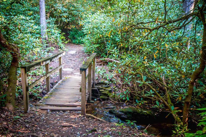
You’ll get a great view of a nice little waterfall cascading down some cool rocks right at the beginning, where a wooden bridge crosses Joe Creek before following it upstream.
Soon you’ll see a set of stone stairs starting the climb in elevation, as you move deeper into the national forest.
As you ascend into the verdant wilderness of mountain laurel and rhododendron, you’ll see Joe Creek on your right.
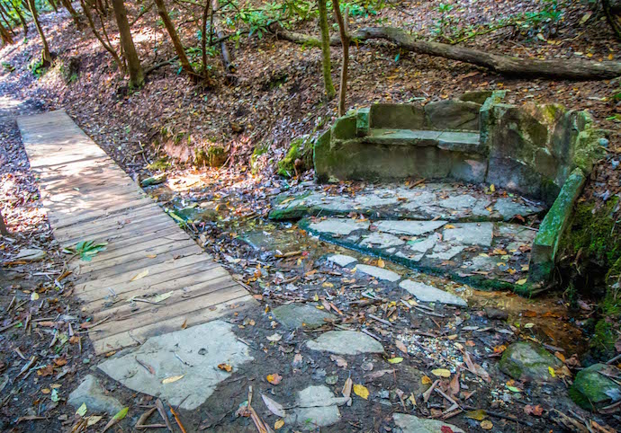
Around 1/3-mile in, you’ll see a moss-covered stone bench worthy of a brief stop. A sign explains that this “spring box” was built by the Civilian Conservation Corps in 1933.
These boxes protected the water supply for 200+ workers who occupied Camp Rabun (and built many of Georgia’s State Parks), and also served to keep perishable foods cool.
As you continue on, you’ll pass a huge rocky outcrop on the right, then cross two small bridges over the tendrils of the creek.
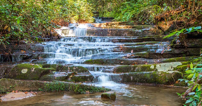
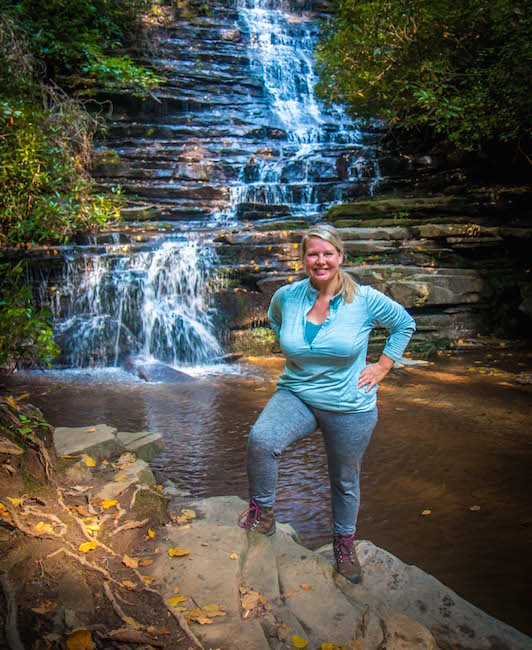
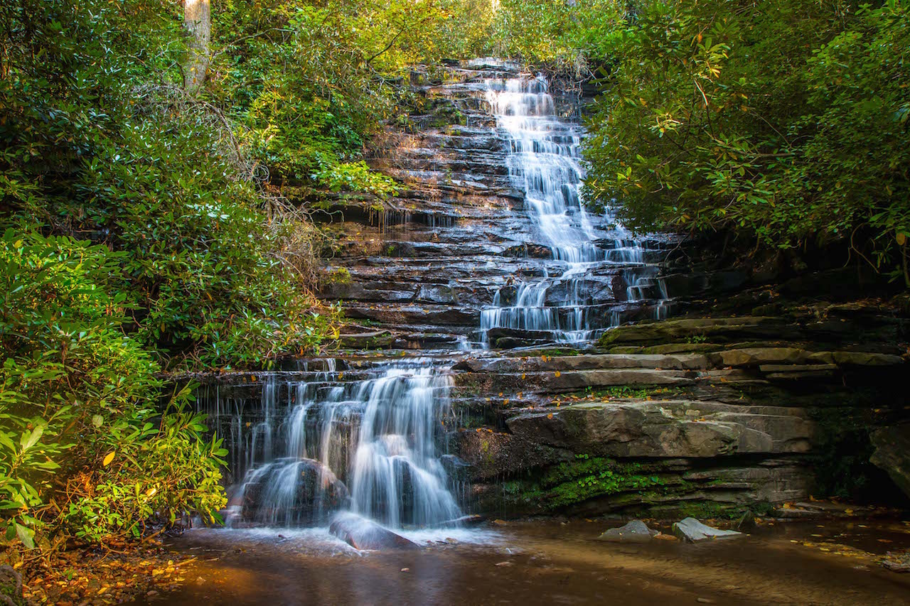
You’ll reach Panther Falls at around .6 mile, and it’s a breathtaking beauty to behold. The rushing waters of the creek slide straight down the stair-stepping rocks until the halfway point, when they suddenly juke to the left before tumbling into the tranquil pool at the base of the waterfall.
The ground all around is covered in rocks and massive roots that form a complex, spiderweb-like pattern. This is a great place to sit and ponder for a spell, have a drink and a snack, and ready yourself for the second section of the Angel Falls hike.
READ MORE: The 15 Best North Georgia Mountains for Hiking
Angel Falls
In our opinion, Panther Falls is one of the most attractive waterfalls in Georgia. And while Angel Falls is impressive in its own right, it’s honestly a mystery why it gets top billing here.
Interestingly enough, we saw several other hikers during our visit who turned back after Panther Falls, not realizing that another waterfall was just 1/3-mile further!
But once we finished our break for a few photos at Panther Falls, we pressed on and tackled the most difficult section of the Angel Falls hiking trail.
From Panther Falls, the trail veers right and up a fairly steep stretch with some unexpectedly sharp switchbacks.
There are safety railings on this section of the trail, and we do advise using them. Between the incline and the massive roots and rocks, footing here can be a little tricky.
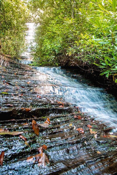
Eventually the trail levels out a bit and you’ll find yourself on a loop. Whichever way you go, Angel Falls awaits you at the top.
The second waterfall comes into view as you reach a wooden platform with benches at the .9-mile mark.
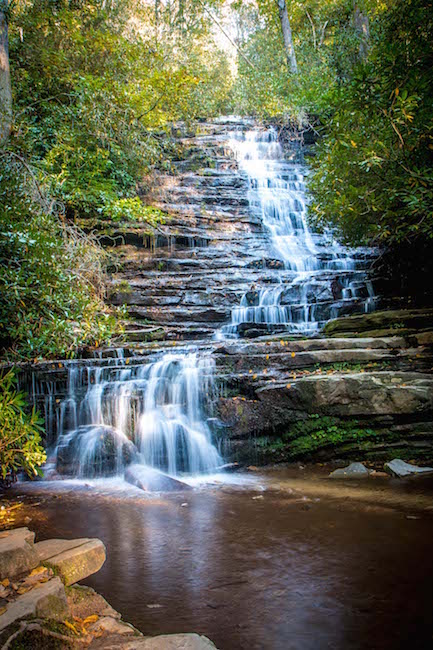
Its source is shrouded by rhododendrons, with the gleaming morning light making the top of the waterfall look like liquid sunshine.
It cascades down the terraced rock before veering to the right, running over a washboard-like section right by the viewing platform.
Though not as jaw-droppingly gorgeous as Panther Falls by any means, the reward is worth savoring before retracing your steps back to the trailhead.
READ MORE: The 20 Best Places to Live in the North Georgia Mountains
Directions to Panther Falls/Angel Falls
Directions From Clayton, GA (12.5 Miles)
From S Main St in downtown Clayton, head south on US-23 S/US-441 S for 5.9 miles.
Turn right onto the Wiley Connector for .1 mile, then take a left onto S Main St/Old 441 S. Follow Old 441 S for 1.5 miles, then continue straight onto Lake Rabun Rd (where 441 veers left over a bridge).
Continue straight on Lake Rabun Rd for 4.5 miles, where you’ll see a small free parking on the right hand side.
You can also park at the Lake Rabun Beach Campgrounds for a $5 fee.
READ MORE: The 15 Best Things to Do in Helen GA
Directions From Helen, GA (24.2 Miles)
From downtown Helen, head west on GA-17 N/GA-75 N/N Main St/Unicoi Turnpike toward White Strasse.
In approximately one mile, turn right onto GA-356 E and follow it for 10.8 miles, passing Unicoi State Park & Lodge along the way.
Turn left onto GA-197 N, and follow that road towards Lake Burton for 3.1 miles until you reach Burton Dam Rd.
Take a right, and follow Burton Dam Rd for 2.9 miles, where it changes names to Seed Lake Rd. Continue straight for another 4.4 miles, where it changes names again to become Lake Rabun Rd.
Continue straight for another 1.9 miles, where you’ll see a small free parking on the right hand side.
You can also park at the Lake Rabun Beach Campground for a $5 fee. –by Bret Love; photos by Bret Love & Mary Gabbett



Comments are closed.